F.A.Q.
Have a question?
Search our FAQ for answers to anything you might ask.
Basics
How to setup a base station?
There are few key steps.
1. Select a location for the antennae (empty hex will maximize rewards)
2. Mount the antennae with a clear sky view
3. Connect the station to Internet
4. Add the miner and your crypto-wallet to the GEODNET console
Why is RTK so accurate?
What is difference between GPS and GNSS?
GPS refers to the United States’ constellation of PNT (Position Navigation and Timing) satellites. GNSS refers to all constellations including EU (Galileo), Russia (Glonass), China (Beidou), Japan (QZSS), and India (Navic).
What does Space Weather have to do with RTK?
Space Weather describes the variations in the space environment between the sun and Earth. In particular, Space Weather describes the phenomena that impact systems and technologies in orbit and on Earth. One of those impacted systems is GNSS. Space weather impacts GNSS receivers in several ways. GNSS radio signals travel from the satellite to the receiver on the ground, passing through the Earth’s ionosphere. The charged plasma of the ionosphere bends the path of the GNSS radio signal similar to the way a lens bends the path of light.
RTK Alternatives
What is PPP and PPP-RTK?
PPP makes use of a network of reference stations in order to compute precise estimates of GNSS satellites orbits and clock errors. Nevertheless, it requires fewer reference stations globally distributed as compared with classic differential approaches (e.g. Real Time Kinematics, RTK), and one set of precise orbit and clock data (computed by a processing center) is valid for all users everywhere. However, the ionospheric or Space Weather compensation is less accurate, resulting in a longer and more fragile precise fix.
PPP-RTK combines the techniques of PPP with a denser regional GNSS base stations to produce a better ionospheric (Space Weather) model. PPP-RTK features faster convergence time as compared to PPP. PPP-RTK is also referred to as SSR (State Space Representation) corrections, as like PPP the corrections are computed server side.
A couple of good articles:
https://www.septentrio.com/en/learn-more/insights/gnss-corrections-demystified
https://www.geopp.de/ssr-vs-osr/
What about LEO Satellites?
Low-Earth Orbit (LEO) satellites offer a promising future for precise positioning. As they are closer to the planet Earth, the signal strength will be higher which will reduced multipath errors as well as the vulnerability to GNSS jamming. LEO satellites also require ground-based reference stations, and GEODNET is investigating how to mine existing and future LEO satellites for valuable PNT data.
What about LiDAR ,Cameras, and IMU’s?
While LiDAR and Cameras most fundamental use in autonomous systems is for Perception, they also play a key role in Localization. The sensors are complimentary to RTK and high-precision GNSS positioning. LiDAR and Cameras are frequently used for relative positioning or with the help of an HD Map, can be used for absolute positioning in the map frame. Inertial Measurement Units (IMU’s) provide position based on the numerical integration angular rate and accelerations. IMU’s are useful because they do not have any external dependency; however, IMU’s are susceptible to drift.
How to get accurate location indoors?
GPS, GNSS and even RTK struggles greatly indoors due weak signals and large amounts of multi-path errors from the building walls. Your mobile phone usings WiFi maps and other tricks to improve the accuracy of your indoor location, but it is still not very good. GEODNET is exploring ways to use #DePIN to improve indoor position accuracy.
Using GEODNET
Is the data really survey grade?
GEODNET uses multi-band full-constellation GNSS receivers. PPP software from NRCAN is utilized to properly position the stations in a standardized Datum’s. All stations are actively monitored by GEODNET for quality control purposes 24x7. The antennae’s are uniformed and calibrated by the National Geodetic Survey
What Datum is used?
In the USA, GEODNET uses NAD83 2011. For international stations, GEODNET uses ITRF 2014
How do I buy the data?
GEODNET data is delivered to end-users in a decentralized way thru third parties. A list of direct RTK Service data distributors is found here:
https://geodnet.com/products#rtkservice
Other service providers and customers, purchase wholesale data streams from GEODNET to incorporate into OEM or existing GNSS correction data products.
Can I add coverage?
Yes, every time a Satellite Miner is installed GEODNET’s coverage grows. If you are interested to add bulk coverage to GEODNET please contact the Foundation directly.
Didn't find what you are looking for?
Videos
GEODNET Introduction

GEODNET Founders
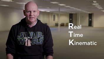
What is RTK
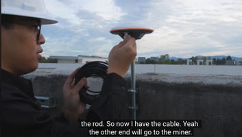
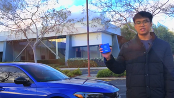
GEODNET Satellite Miner Installation
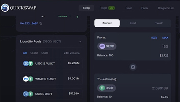
Trading GEODNET Tokens on QuickSwap
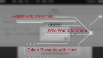
GEODNET Token Rewards Splitting
How to Install the HYFIX USB-C Rover Kit
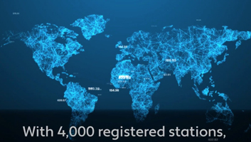
GEODNET 4000 Miner Milestone

GEODNET 2023 Year in Review
DePIN Panel EthDenver 2024
How to Avoid DePIN Scams
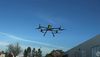
How to Connect your RTK Drone

Maintain your Triple Band Miner

Santiago Santos Discusses GEODNET

SuperHex Phase 2 program
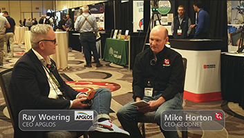
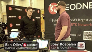
GEODNET and APGLOS at the Western Regional Survey Conference 2024.
Farmers! This revolutionary technology will save you lots of money and boost your farm’s profits!