


0
The Products Powering the GEODNET Ecosystem
From GNSS hardware and precision navigation devices to mobile applications and developer tools, discover the products built to access, expand, and benefit from the world's largest decentralized RTK network.

GEODNET RTK Subscriptions
Connect to GEODNET’s global RTK correction network for real-time GNSS corrections that enable centimeter-level positioning accuracy without deploying your own base station. GEODNET RTK Subscriptions provide access to network RTK data for compatible GNSS receivers, supporting high-precision surveying, mapping, drones, agriculture, robotics, IoT, and machine-control applications through flexible monthly or yearly plans.

$400.00
GEODNET RTK Subscription (YEARLY)

$40.00
GEODNET RTK Subscription (MONTHLY)
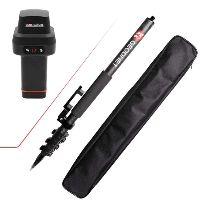
GEO-MEASURE Handheld RTK Receiver & Carbon Fiber Survey Pole Kit
The GEO-MEASURE + Carbon Fiber Survey Pole Bundle is a complete phone-based RTK surveying kit designed for professional centimeter-level data collection. Combining the GEO-MEASURE GNSS RTK Receiver with a lightweight 1.8m carbon fiber survey pole, it provides fast, reliable positioning with GEODNET corrections and a simple field-ready setup.
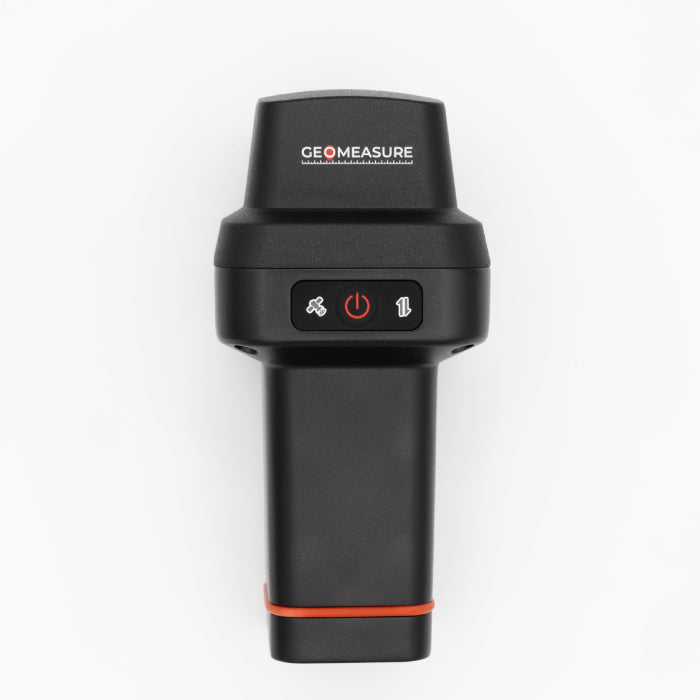
GEO‑MEASURE: Handheld GNSS RTK Receiver
The GEO-MEASURE is an ultra-portable GNSS RTK receiver engineered to deliver centimeter-level accuracy in a compact, field-ready design. Connecting directly to your phone via Bluetooth LE with no external antennas or cables required, it provides fast, reliable positioning for surveying, construction, GIS, agriculture, and mapping, with 1 year of free GEODNET RTK corrections included.
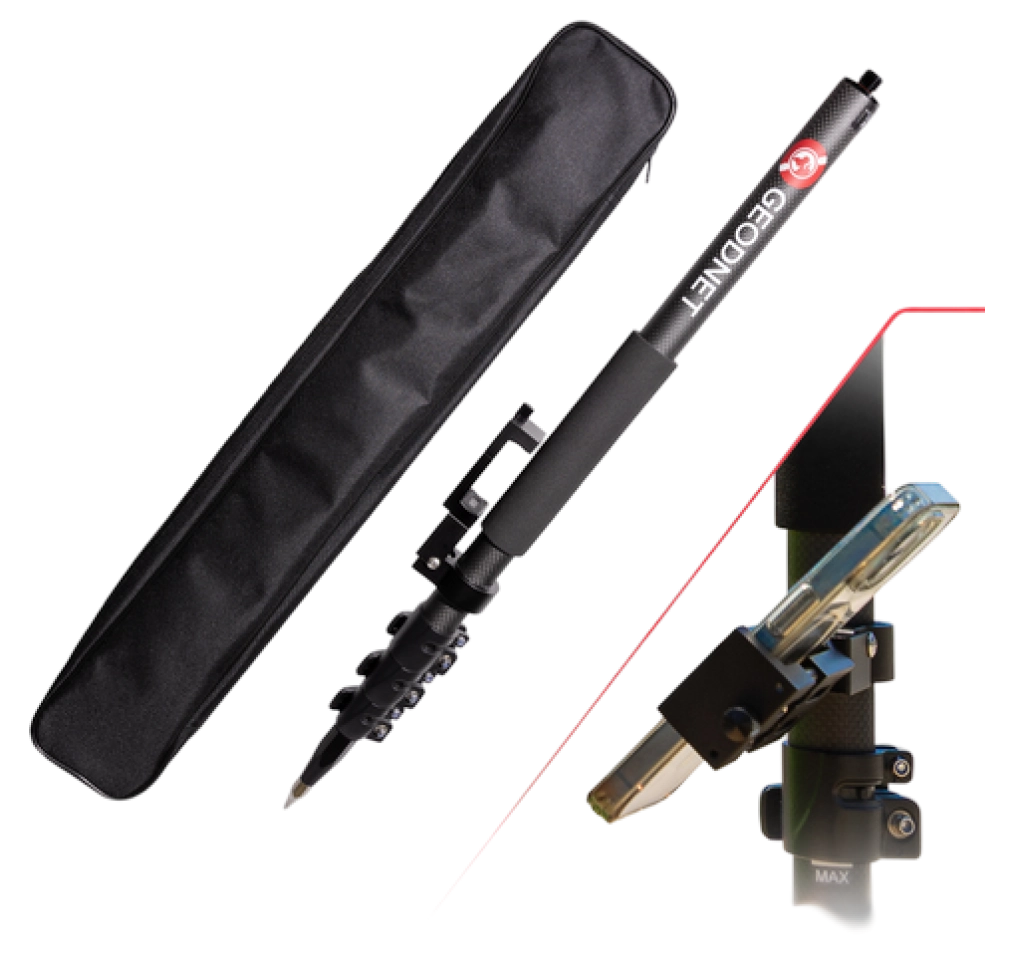
Carbon Fiber Survey Pole with Phone Mount and Collapsable Latch Lock (5.91ft/1.8m, 5/8" Thread)
The GEODNET Carbon Fiber GNSS Survey Pole is a portable 1.8m telescopic rover rod designed for RTK GPS land surveying, construction, and GIS mapping. Featuring a phone mount, collapsible latch lock, and standard 5/8" thread, it provides a lightweight, convenient solution compatible with GEO-MEASURE and other mainstream RTK GNSS receivers.
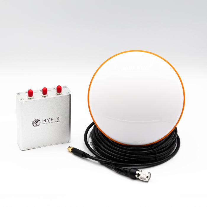
MobileCM Triple-Band GNSS Base-Station (GEODNET Compatible)
The **MobileCM Triple-Band GNSS Base-Station** is a geodetic-grade, ready-to-use base station designed to deliver ultra-high accuracy positioning and reliable RTK correction data. Supporting L1, L2, and L5 signals across major GNSS constellations, it features built-in NTRIP server functionality and a pre-configured antenna installation kit for surveying, mapping, robotics, precision agriculture, and UAV applications.
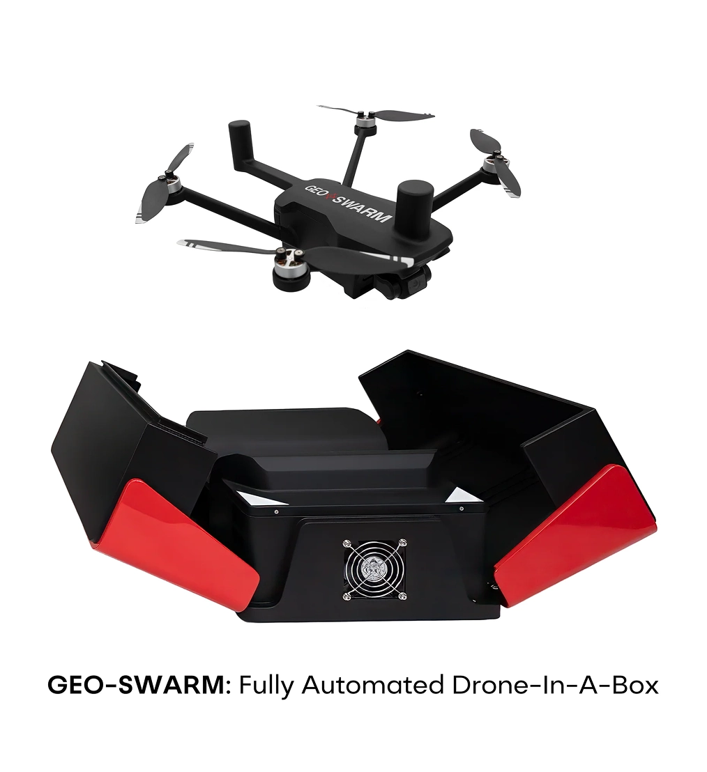
GEO-SWARM: Fully Automated Home Security Drone-In-A-Box (Pre-Order)
GEO-SWARM is an autonomous home security drone-in-a-box system designed to give homeowners a new way to monitor their property from the air. Instead of relying only on fixed security cameras, GEO-SWARM can launch from its charging dock (included), fly pre-mapped patrol routes, provide a live aerial view, and automatically return to its dock to recharge.
Powered by GEODNET RTK and autonomous flight technology, GEO-SWARM is an NDAA-compliant security drone-in-a-box system designed for precise, repeatable patrols with minimal user involvement. The system combines an intelligent drone, automated charging dock, camera system, and companion app into one integrated security platform.
GEO-PULSE RTK GNSS Receiver for Precise Navigation
The GEO-PULSE is a compact RTK GNSS receiver designed to deliver centimeter-level positioning for fleets, connected mobility, rideshare, and autonomous systems. Featuring built-in IMU dead reckoning, triple-frequency reception, and native ROS2 support, it provides reliable, scalable location data with seamless integration into existing software stacks.

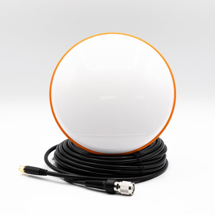
Multi-Frequency High Precision Survey Antenna
The Multi-Frequency High Precision Survey Antenna is a professional-grade GNSS antenna engineered for exceptional signal quality, measurement accuracy, and reliable RTK performance. Its high-gain, wide beam pattern and precision multi-feed design provide stable phase-center alignment and strong anti-interference performance, even in challenging field environments.
HYFIX PRODUCTS
Hardware built for autonomy. POWERED by GEODNET.
HYFIX delivers integrated hardware and platforms purpose-built for autonomous systems, engineered to perform with GEODNET’s global RTK network.
HYFIX H1 Flight Computer
.webp)
High-performance AI compute with integrated RTK, IMU, and communications in one compact module.
- AI Processing
- Integrated RTK
- Multi-band Comm
- Enterprise Security
HYFIX Drone Platform
.webp)
Autonomous-ready drone platform engineered for precision, reliability, and real-world missions.
- Centimeter-level Positioning
- Autonomous Navigation
- Mission Ready
Powered by GEODNET RTK
.webp)
Global, decentralized RTK corrections that deliver unmatched accuracy and availability.
- Mission Ready
- Integrated RTK
- Multi-band Comm
- Enterprise Security
Your Gateway to Token Quests
Paired with the GEO-PULSE Quest App, users can complete tasks to earn GEOD tokens.
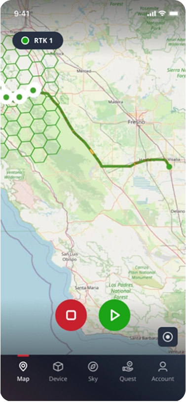
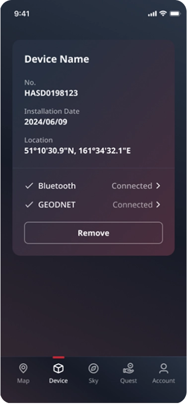
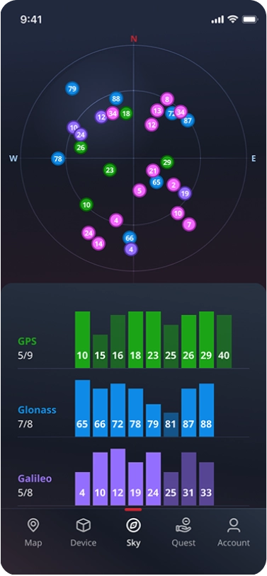
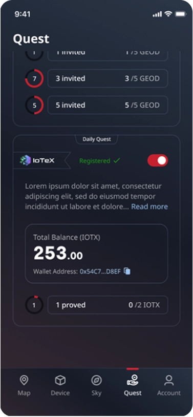
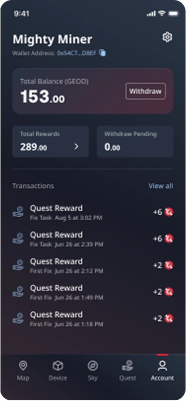
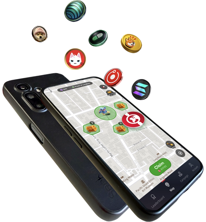
TokenRun: A Crypto Treasure Hunt Game for the Real World
TokenRun is the world’s first move-to-earn adventure app powered by GEODNET’s decentralized proof-of-location technology. Transform your daily walks, jogs, a nd neighborhood explorations into real crypto rewards by discovering and unlocking treasure chests that appear as you move. With secure, tamper-resistant location validation, TokenRun ensures every reward is truly earned—no GPS spoofing, no cheating, just authentic movement.
Certified GEODNET Station Vendors

Rock Robotic
Drones, LiDAR Scanning
Global

.svg)
Fresh Miners
DePIN, Crypto Mining
Netherlands, EU

CRYPSHIP.IO
DePIN Mining, LoRaWAN, Location Hosting
EU, Global
.svg)
Depinsa
Hardware Distributor
Africa
.svg)
Rock Robotic
Hardware Distributor
EU, GLOBAL

Village Island
Hardware Distributor
East Asia, Global
.svg)
Paradox Wireless
Hardware Distributor

IDeploy
Hardware Distributor
Latin America
Certified GEO-PULSE Vendors
Rock Robotic
EU, GLOBAL
Fresh Miners
Netherlands, EU
CRYPSHIP.IO
EU, Global
Depinsa
Africa
Paradox Wireless
IDeploy
Latin America
Village Island
East Asia, Global
Build on the Precision Network for Physical AI
GEODNET is already deployed across real markets, real customers, and real-world positioning demand.
to stay in touch.

