

Precision Positioning for Every Physical AI System

GEODNET powers drones, robotics, autonomous vehicles, mapping, agriculture, and industrial automation with the world's largest decentralized RTK network.
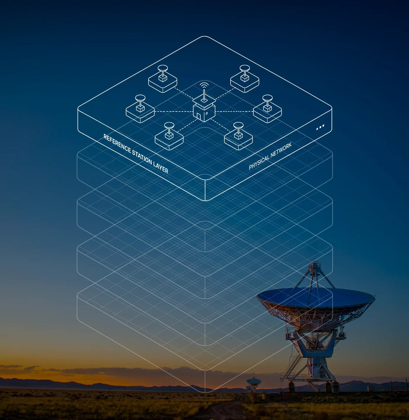
Reference stations worldwide
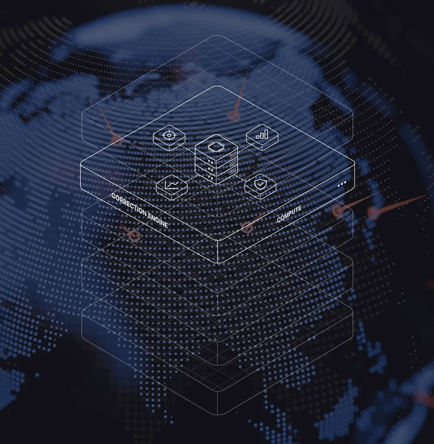
Centimeter level accuracy
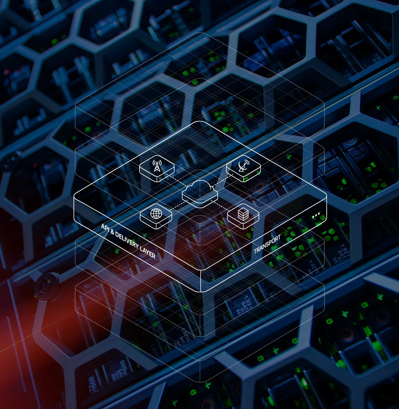
Low latency corrections
Secure, reliable and scalable
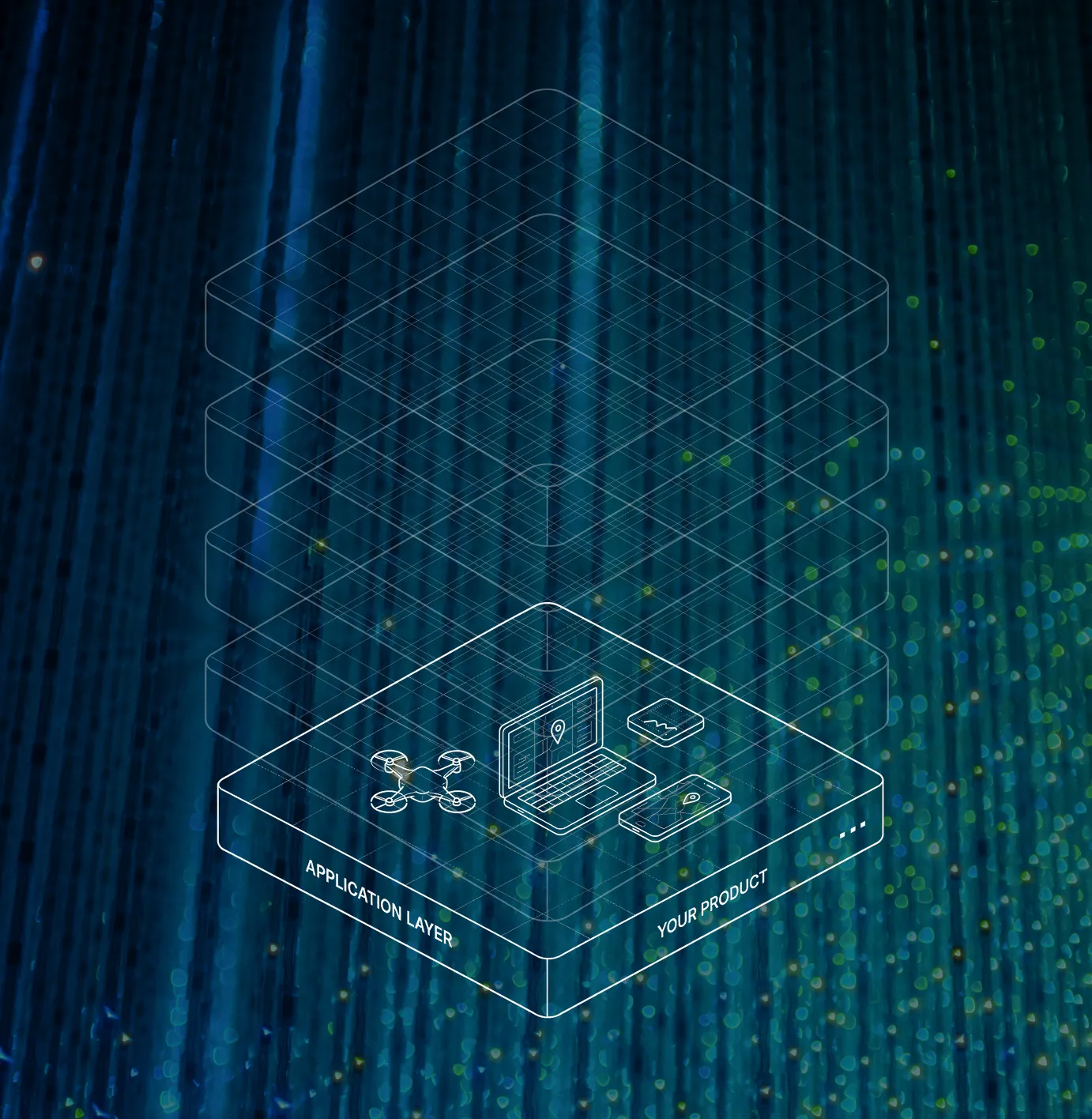
An open ecosystem of compatible hardware with Precision, proven in the field.

.webp)
.svg)

.svg)
.svg)
.svg)
What is Spatial Intelligence
Autonomous vehicles
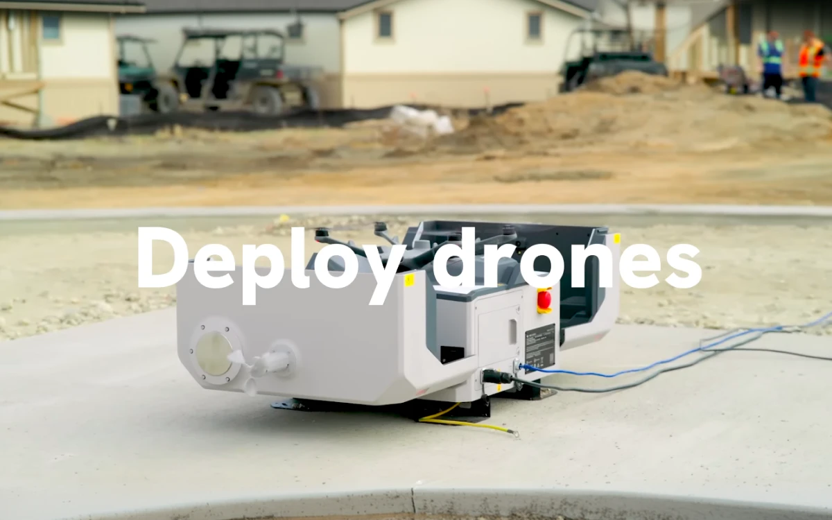
Drones
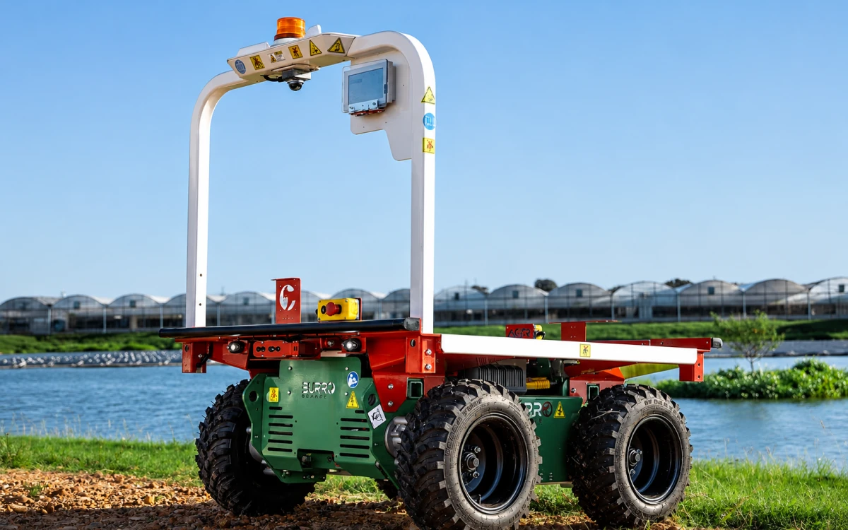
Robotics
Mapping & surveying
Autonomous Tractors
Autonomous Mowers
Autonomous vehicles
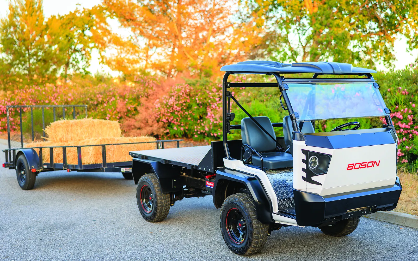
Autonomous vehicles
Understand lanes, cars, pedestrians. Predict collisions and plan paths.
Drones

Drones
Navigate neighborhoods safely. Avoid trees, wires, buildings. Land precisely on a target pad.
Robotics
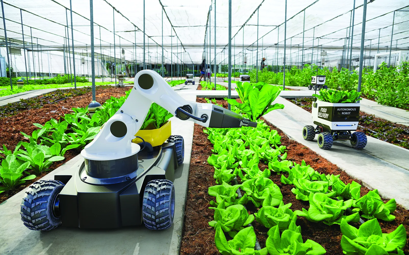
Robotics
Provide centimeter-level positioning. Maintain precise real-world location at all times. Eliminate drift from other systems. Enable accurate navigation and repeatable movement. Act as a global positioning anchor.
Mapping & surveying
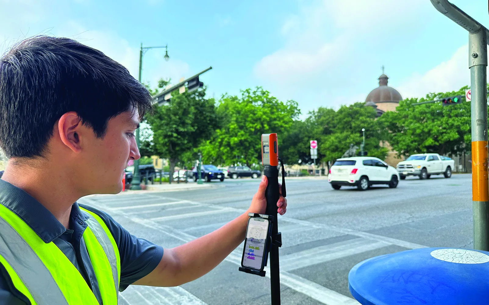
Mapping & Surveying
Capture accurate geospatial data with centimeter-level positioning in the field. Improve survey precision, reduce reliance on local base stations, and support faster, repeatable mapping across projects, sites, and locations.
Autonomous Tractors
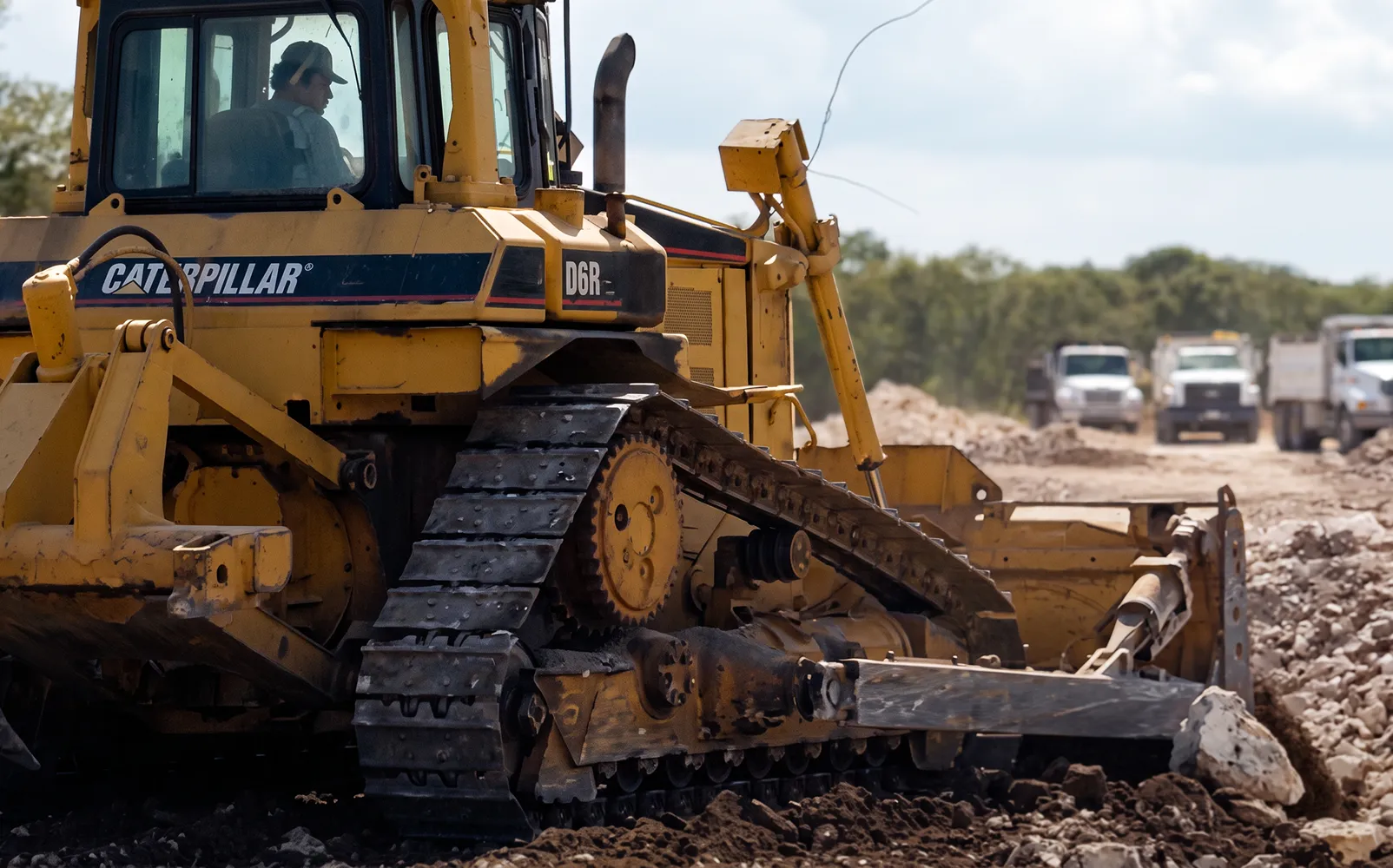
Autonomous Tractors
Maintain straight, repeatable paths. Operate with centimeter-level accuracy. Optimize field coverage and efficiency. Reduce overlap and input waste. Enable reliable autonomous operation.
Autonomous Mowers
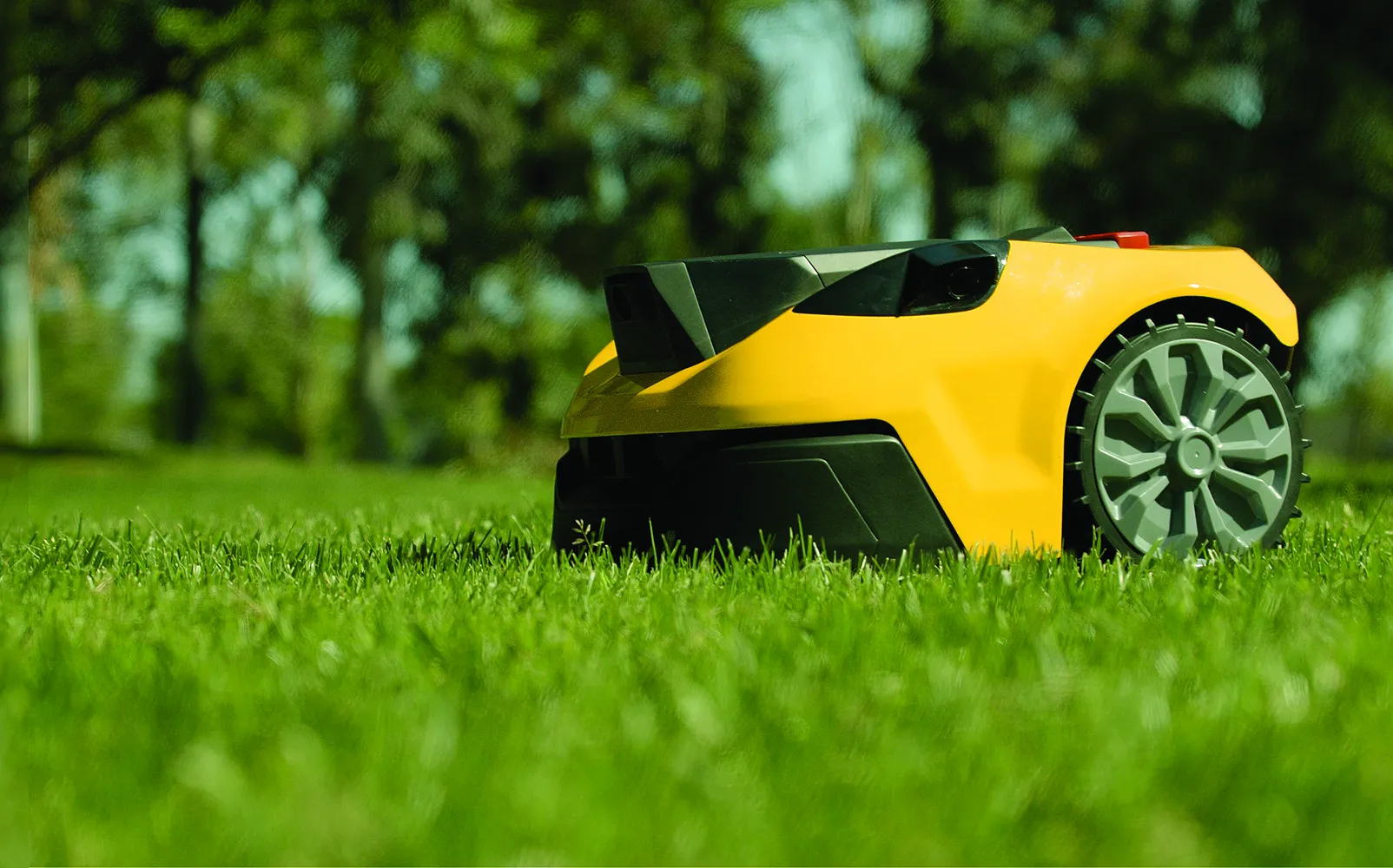
Autonomous Mowers
Maintain precise cutting paths. Operate with centimeter-level accuracy. Avoid obstacles and boundaries reliably. Ensure consistent coverage across the lawn. Enable efficient, fully autonomous mowing.
Understand lanes, cars, pedestrians. Predict collisions and plan paths.
Navigate neighborhoods safely. Avoid trees, wires, buildings. Land precisely on a target pad.
Provide centimeter-level positioning. Maintain precise real-world location at all times. Eliminate drift from other systems. Enable accurate navigation and repeatable movement. Act as a global positioning anchor.
Capture accurate geospatial data with centimeter-level positioning in the field. Improve survey precision, reduce reliance on local base stations, and support faster, repeatable mapping across projects, sites, and locations.
Maintain straight, repeatable paths. Operate with centimeter-level accuracy. Optimize field coverage and efficiency. Reduce overlap and input waste. Enable reliable autonomous operation.
Maintain precise cutting paths. Operate with centimeter-level accuracy. Avoid obstacles and boundaries reliably. Ensure consistent coverage across the lawn. Enable efficient, fully autonomous mowing.
Integrate In Minutes. Scale To Thousands.
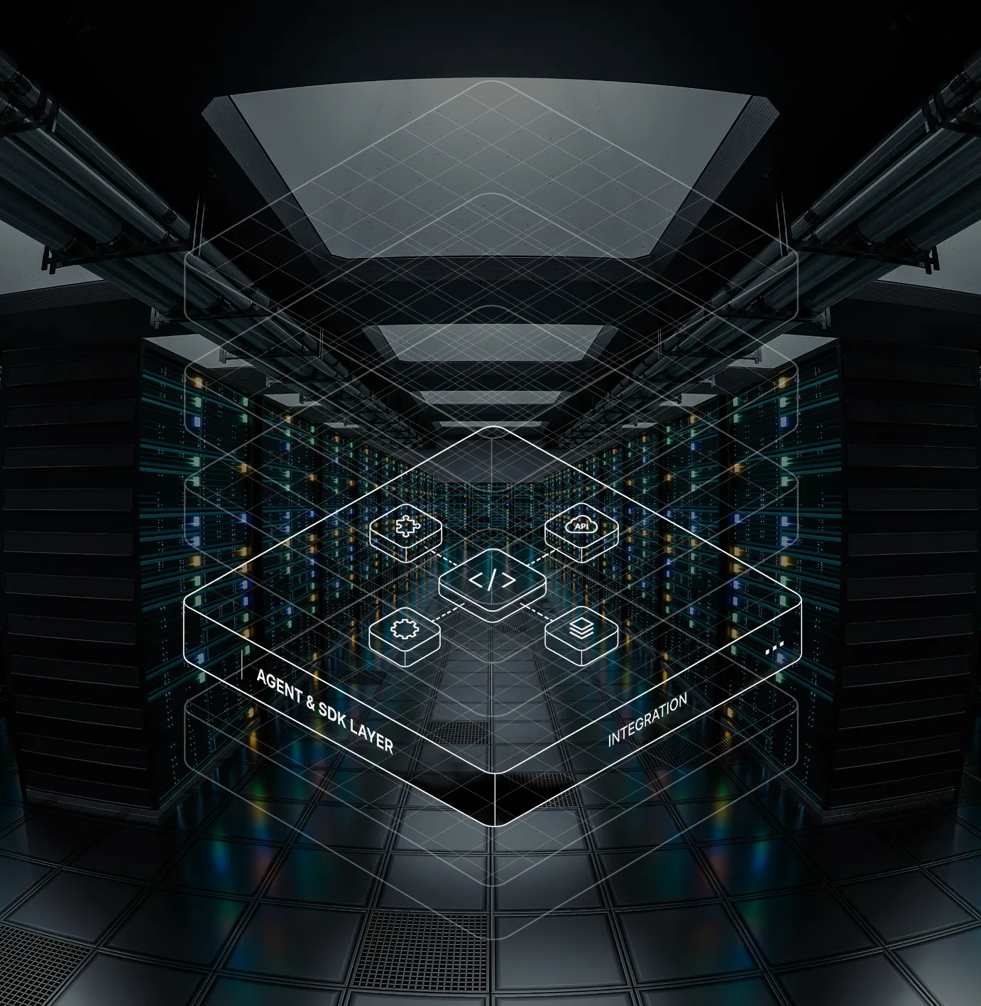
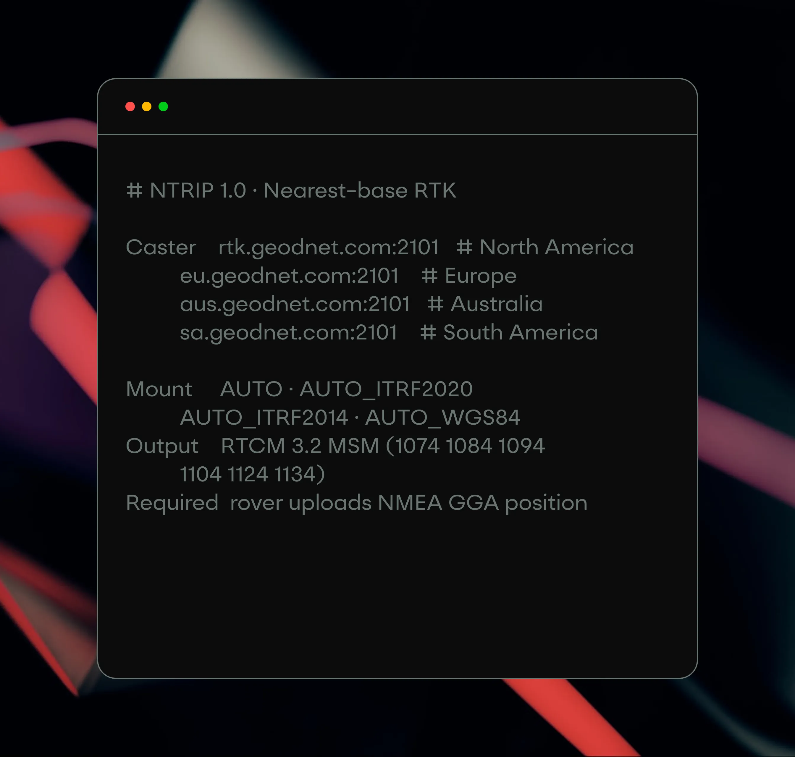
Standard protocols and a public API reference from a single rover to enterprise fleet deployments.
Nearest-base corrections from regional casters — rtk / eu / aus / sa .geodnet.com:2101.
Manage accounts, read station data, and pull RTCM logs for post-processing.
Authorized distributors manage RTK customers and daily operations from one portal.
Build on the Precision Network for Physical AI
GEODNET is already deployed across real markets, real customers, and real-world positioning demand.

to stay in touch.

