

The Rails for Physical AI

GEODNET gives drones, robots, and autonomous systems centimeter-level positioning for the physical world.

A [Global Precision] Network Already in Motion

GEODNET is already deployed across real markets, real customers, and real-world positioning demand.

0

Base stations

0

Countries

0

Customers

0

Revenue

GEODNET delivers centimeter-level RTK positioning for the machines, vehicles, and equipment that operate in the real world. From agriculture and surveying to drones, robotics, and autonomous vehicles, our global network provides the precise, reliable positioning needed to work accurately anywhere.

OUR MISSION

Professional Grade Positioning, Accessible to Everyone.

We deliver the accuracy, reliability, and performance professionals demand at prices that make advanced positioning technology available to businesses and everyday users alike.

01

Professional Performance

Centimeter-level accuracy and reliable performance you can trust.

02

Exceptional
Value

Global scale enables more capability at more competitive prices.

03

Built to Simply
Work

From the world’s largest RTK network to easy-to-use positioning products.

Standard GPS Was Not Built for Physical AI

Beyond Approximate Location

Drones, robots, and autonomous systems require more than basic GPS accuracy to operate reliably in the physical world.

Precision Enables Autonomy

Accurate positioning is essential for navigation, coordination, and real-time decision-making across autonomous operations.

Powered by GEODNET

GEODNET delivers centimeter-level RTK corrections through a decentralized global network, providing the precision layer for Physical AI.
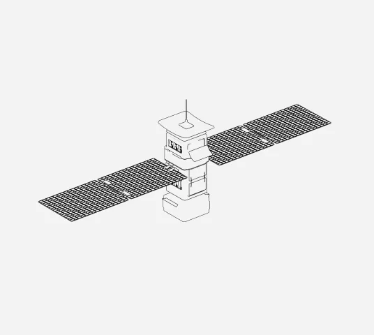
How GEODNET Delivers Precision

GNSS Satellites

Raw Signals

Base Station Network

Receive satellite signals

Calculate local errors

GEODNET Network

Aggregates station data

Computes RTK corrections

Cloud / Internet Delivery

Streams correction data (NTRIP / API)

Rover Collect GNSS Signals

Receive GNSS + corrections

Results

cm-level positioning

No drift

Real-time accuracy

An open ecosystem of compatible hardware with Precision, proven in the field.

“GEODNET’s RTK network has been a game-changer for our accurate mapping workflows.”

Director of Field Operations

Agricultural Robotics

“GEODNET’s provides the reliability and coverage we need to deliver high-accuracy data to our customers.”

Geospatial Solutions Manager

Ariel Surveying

“GEODNET proved that you don’t need to build your own base stations anymore. We just plug in, and it works globally.”

Director of Autonomous Operations

Agricultural Robotics

“With GEODNET, we can operate with centimeter accuracy wherever our missions take us.”

GNSS Systems Engineer

Space Technology

“GEODNET’s global RTK coverage helps us scale operations and deliver consistent accuracy across borders.”

Survey Operations Manager

Construction Technology

Build on the Precision Network for Physical AI

GEODNET is already deployed across real markets, real customers, and real-world positioning demand.