
 Back
Precision made simple
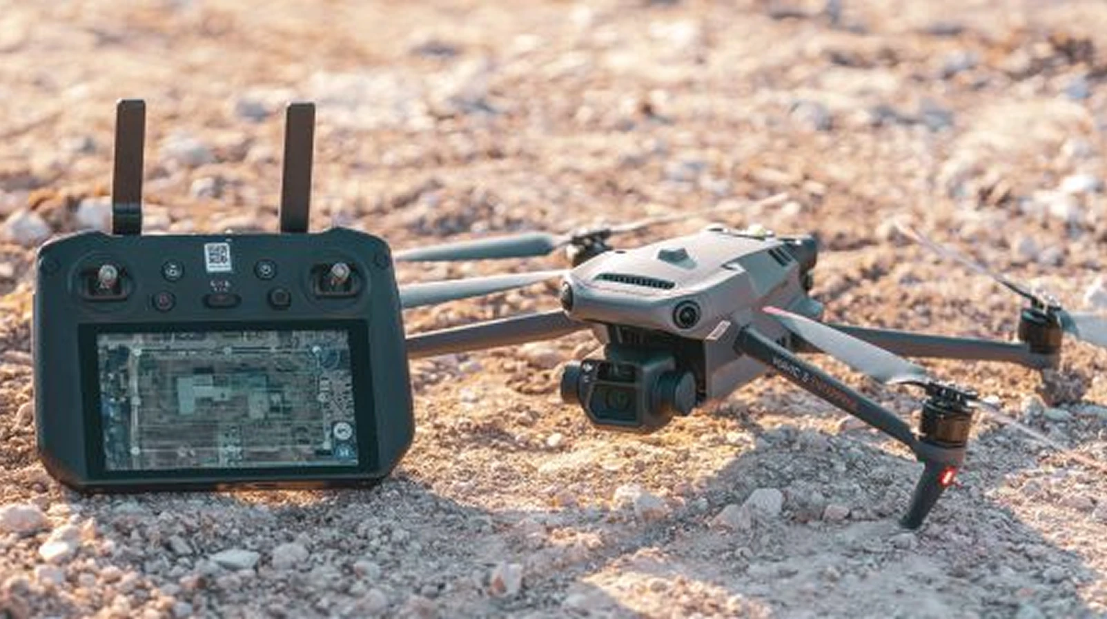
For decades, aerial mapping with drones promised a new frontier of visibility for industries that depend on ground truth. Survey-grade precision was possible, but it came at a cost: specialized base stations, expensive subscription networks and the expertise to configure them limited real adoption to a narrow slice of professionals.
That barrier is disappearing. DroneDeploy, the world’s most widely used drone data platform, connects directly to GEODNET’s decentralized network of more than 20,000 RTK reference stations. Together they have made high-accuracy data not a premium feature but the default — something every customer, in every sector, can rely on without thinking about it.
Why accuracy stayed out of reach
Traditional correction services treated accuracy as an upsell, priced separately from core services. DroneDeploy took a different approach: by including RTK corrections in the base price of its enterprise tier, it removed the decision point altogether. Customers no longer weigh whether accuracy is worth the cost. They simply assume it is included.
How the integration works
What once required deep technical expertise now happens in the background, invisible to the operator.
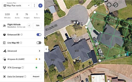
- Open the flight plan — DroneDeploy connects automatically to the closest GEODNET node.
- RTK fix in seconds — the receiver converges before the aircraft leaves the ground.
- Every image tagged — captures are stamped with a precise location against a known datum.
“The technology blends into the background so they can focus on making critical business decisions,” Stripe said. “We regularly hear from customers who now take our partnership for granted as their maps and measurements are high accuracy by default.”
Global reach, local reliability
- Remote sites — affordable base stations plus 5G or Starlink let energy facilities, data-center builds and remote mines join the network quickly.
- RTK capture tripled — DroneDeploy’s RTK data capture has tripled in the past two years.
- Public good — DroneDeploy.org gives humanitarian and conservation groups the same centimeter-level data for disaster response and environmental monitoring.
- AI-ready baseline — Progress AI assesses construction progress against design, which only works on a trustworthy geospatial baseline.
From flight plan to deliverable
- 1. Plan the mission in DroneDeploy and power on the aircraft.
- 2. The platform connects to the nearest GEODNET station and establishes an RTK fix.
- 3. Fly: every image is geotagged at centimeter level.
- 4. Process maps, models and volumetrics with no ground-control workaround.
- 5. Run QA against BIM, track earthworks or feed Progress AI from the same dataset.

Centimeter-level corrections from 20,000+ stations in 140+ countries. RTCM 3.2 over NTRIP — works with any modern GNSS receiver, no base station required.

Key facts
- More than 100,000 professionals use DroneDeploy across construction, energy, agriculture and mining.
- RTK corrections are included in DroneDeploy’s enterprise tier — monthly, annual or five-year access.
- GEODNET coverage comes from more than 20,000 stations worldwide.