

Get Centimeter-Level Positioning in Minutes.
Start your free trial and explore how GEODNET delivers reliable RTK corrections through a global network built for drones, robotics, autonomous vehicles, and enterprise applications.






Powering Physical AI Across Industries
GEODNET delivers reliable centimeter-level positioning through one global RTK network.
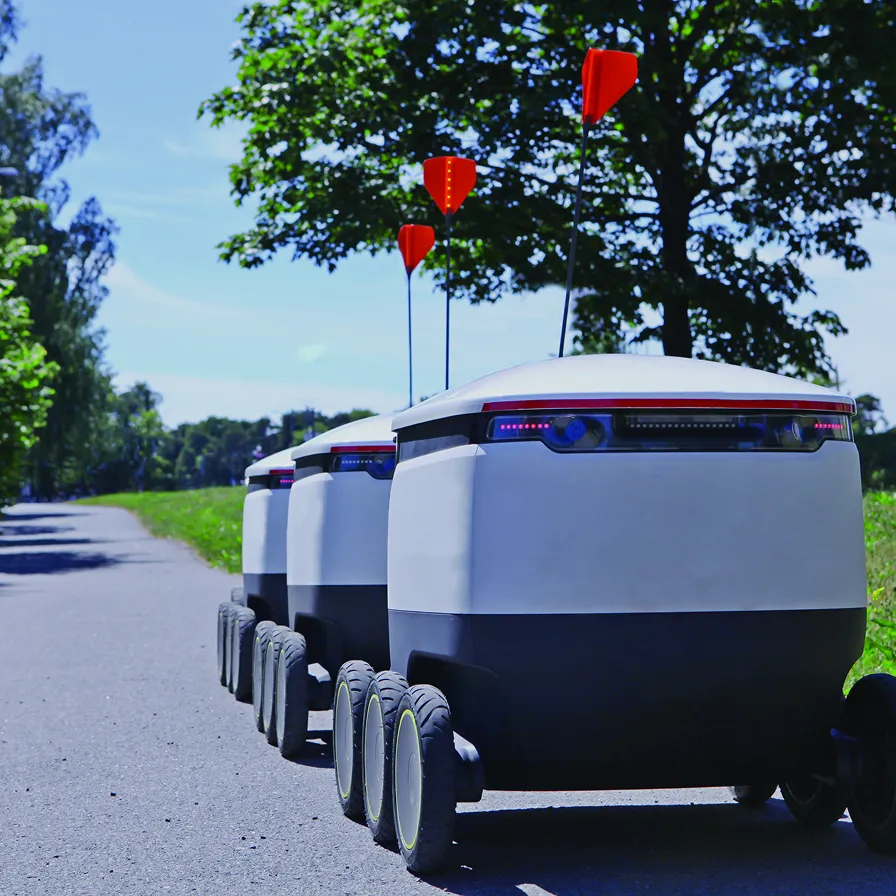
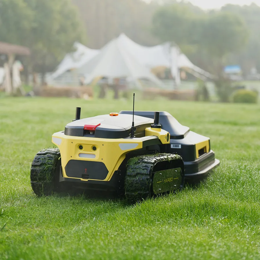
Robotic mowers and other small robots use GEODNET to localize and navigate with centimeter precision.
ADAS, lane-level navigation, and V2X applications depend on high-accuracy, sub-10cm precise positioning.
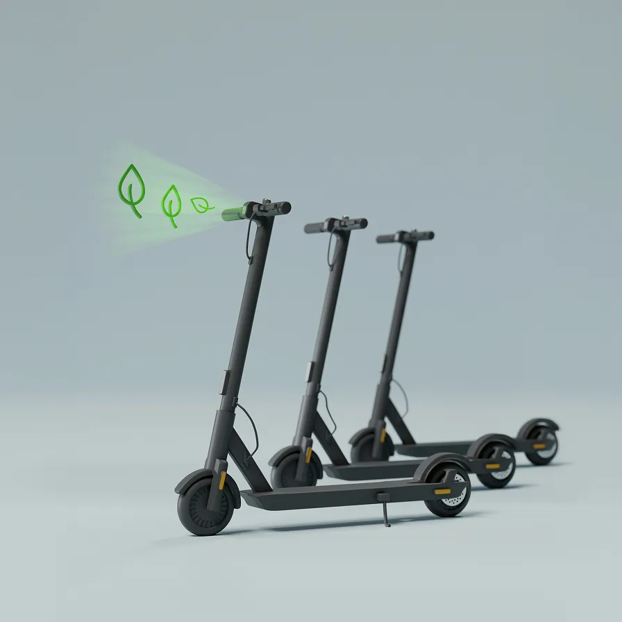
Sub-meter positioning helps mobility-as-a-service companies comply with local parking ordinances.
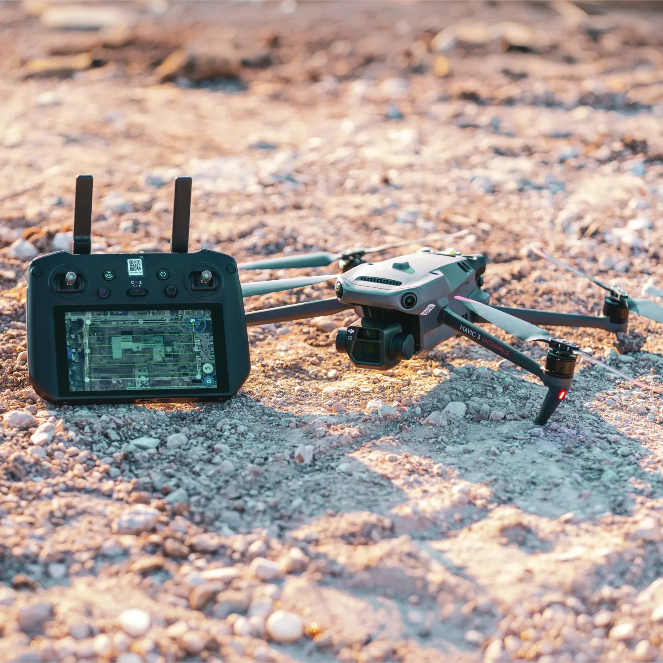
RTK capability is now standard on Enterprise drones. Utilizing GEODNET’s RTK service enables stable hover in windy conditions, drone-delivery applications, and accurate digital twin creation with LiDAR scanning.
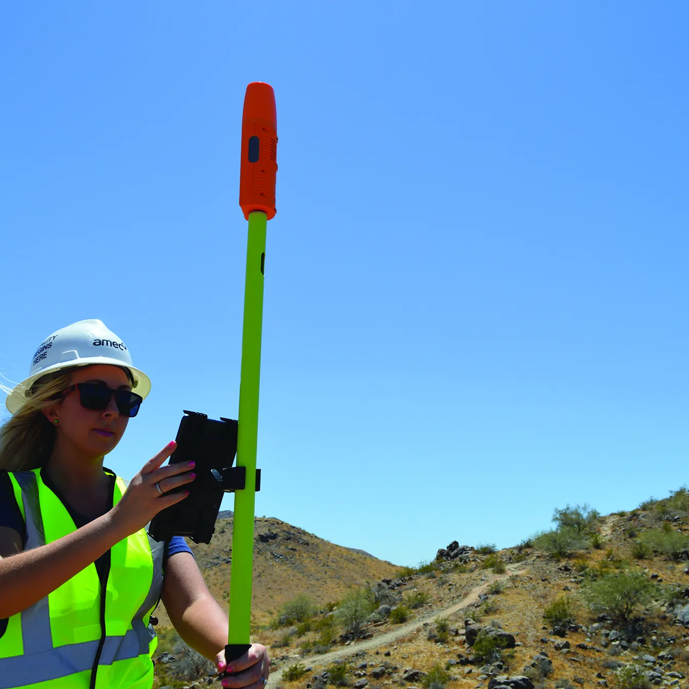
Surveyors rejoice! GEODNET’s easy-to-use NTRIP-based service makes achieving RTK-Fix a breeze. High-definition mapping is now easier than ever with easy-to-download fully modernized RINEX files.
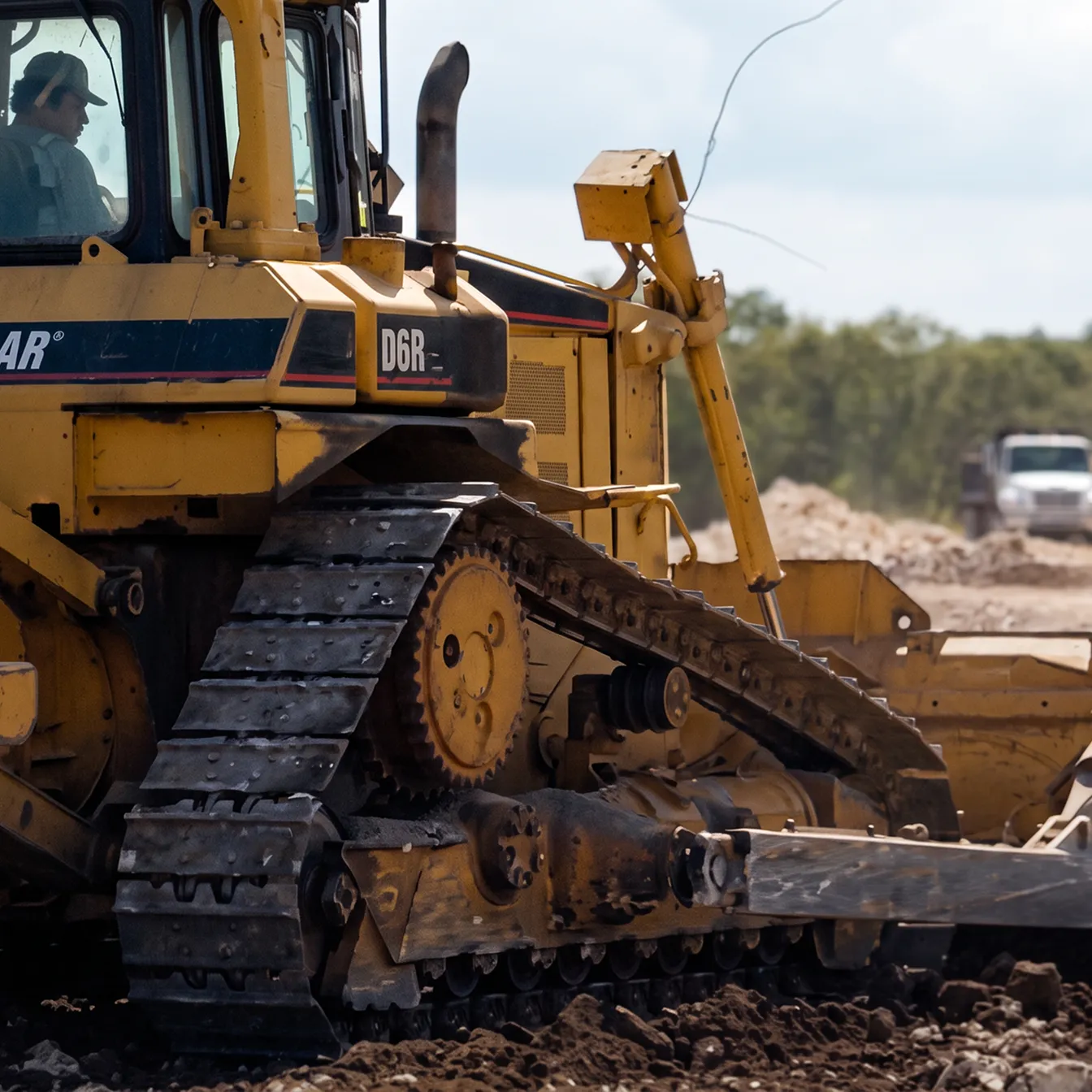
New digital construction practices rely heavily on dependable centimeter-accurate positioning (including vertical accuracy). Labor hours, labor cost, and fuel cost are all reduced 30-50% thru automation
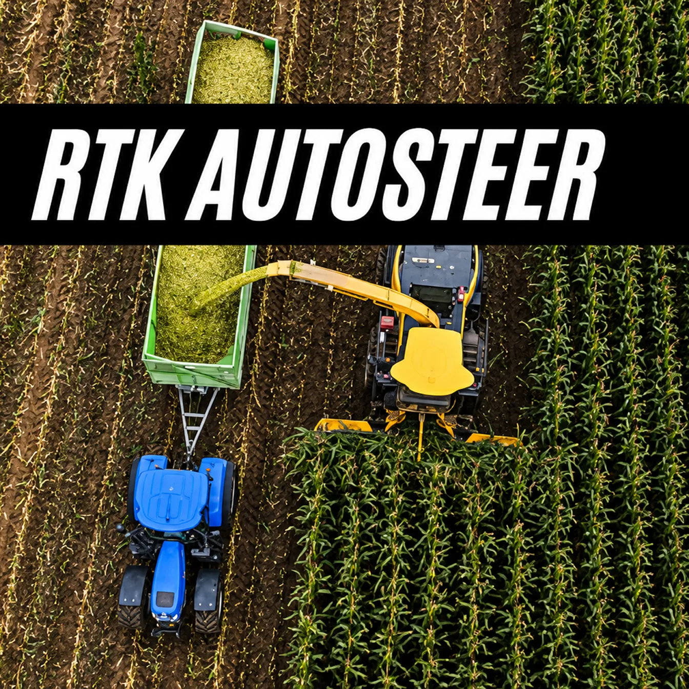
GEODNET’s RTK service offers the fastest and most precise way to achieve sub-inch accuracy from your Autosteer kit. Whether you are planting, spraying or harvesting, RTK will help you improve yield, reduce input costs, and increase profits!
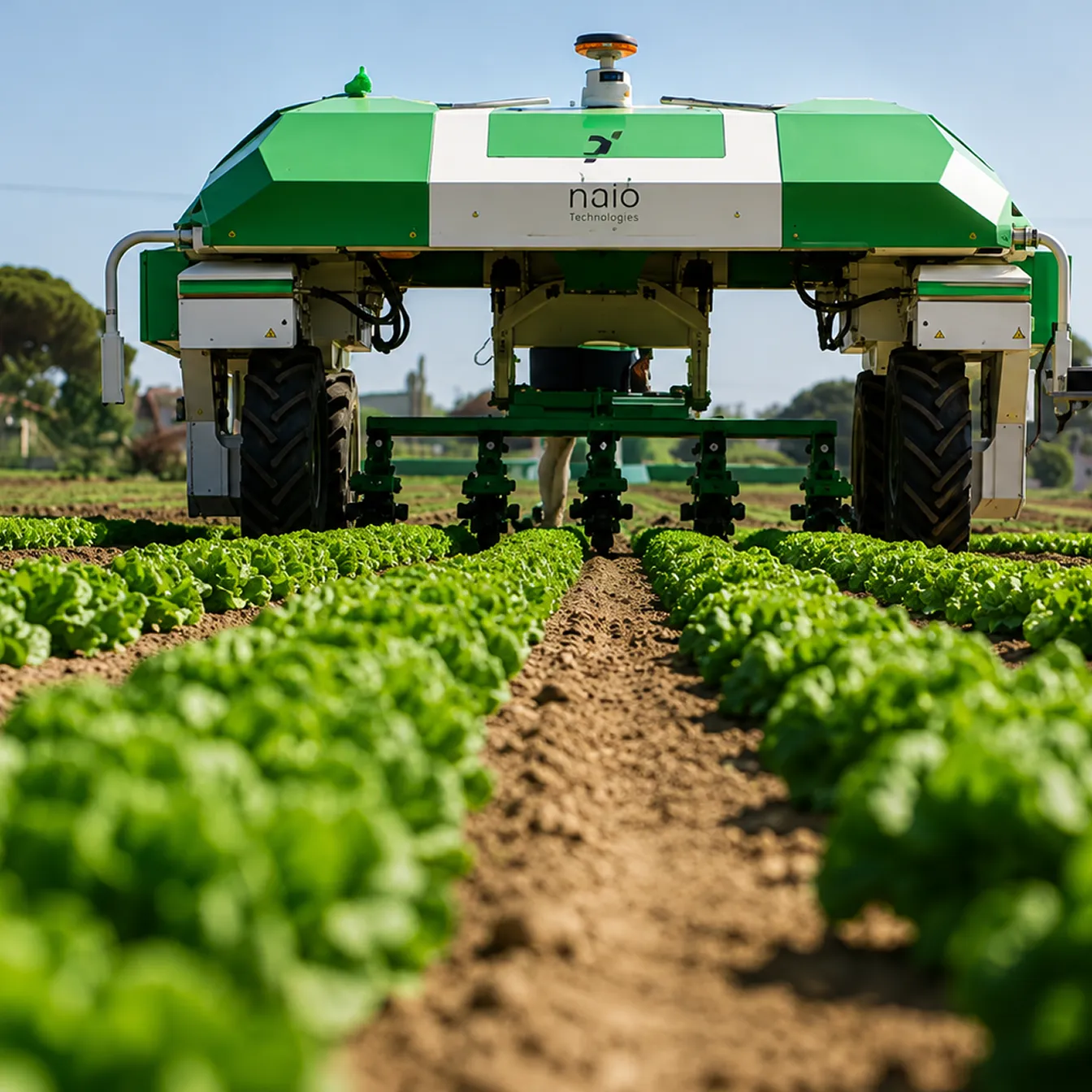
Agriculture is making the transition to full autonomy today. Robotic spraying, weeding, and harvesting all depend on reliable accurate localization in the field.
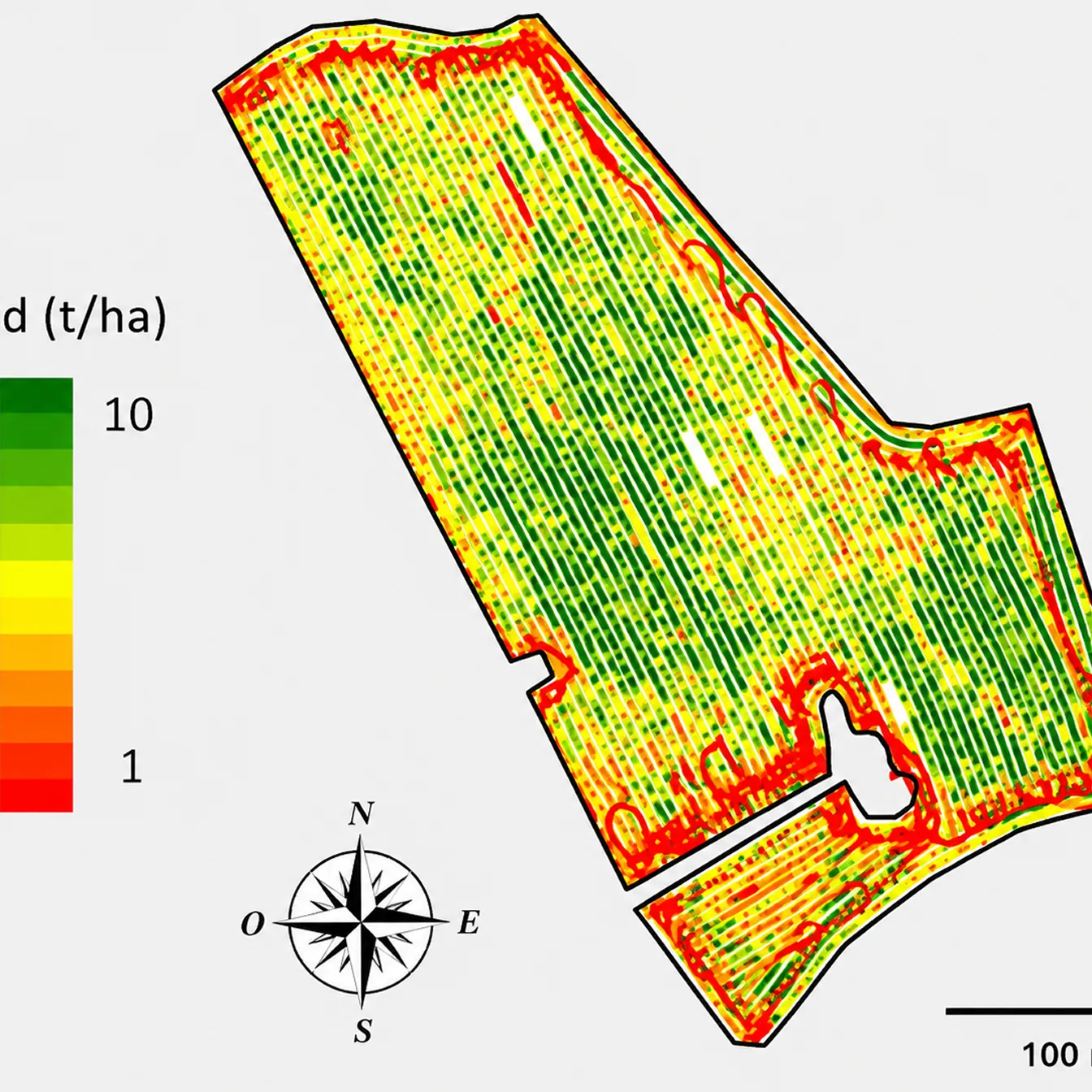
Accurate field mapping and soil sampling is easily accomplished with the assistance of an RTK network. Boundary, area computation, and site plans are accurately created on the ground or with the assistance from RTK-aligned Drone imagery.
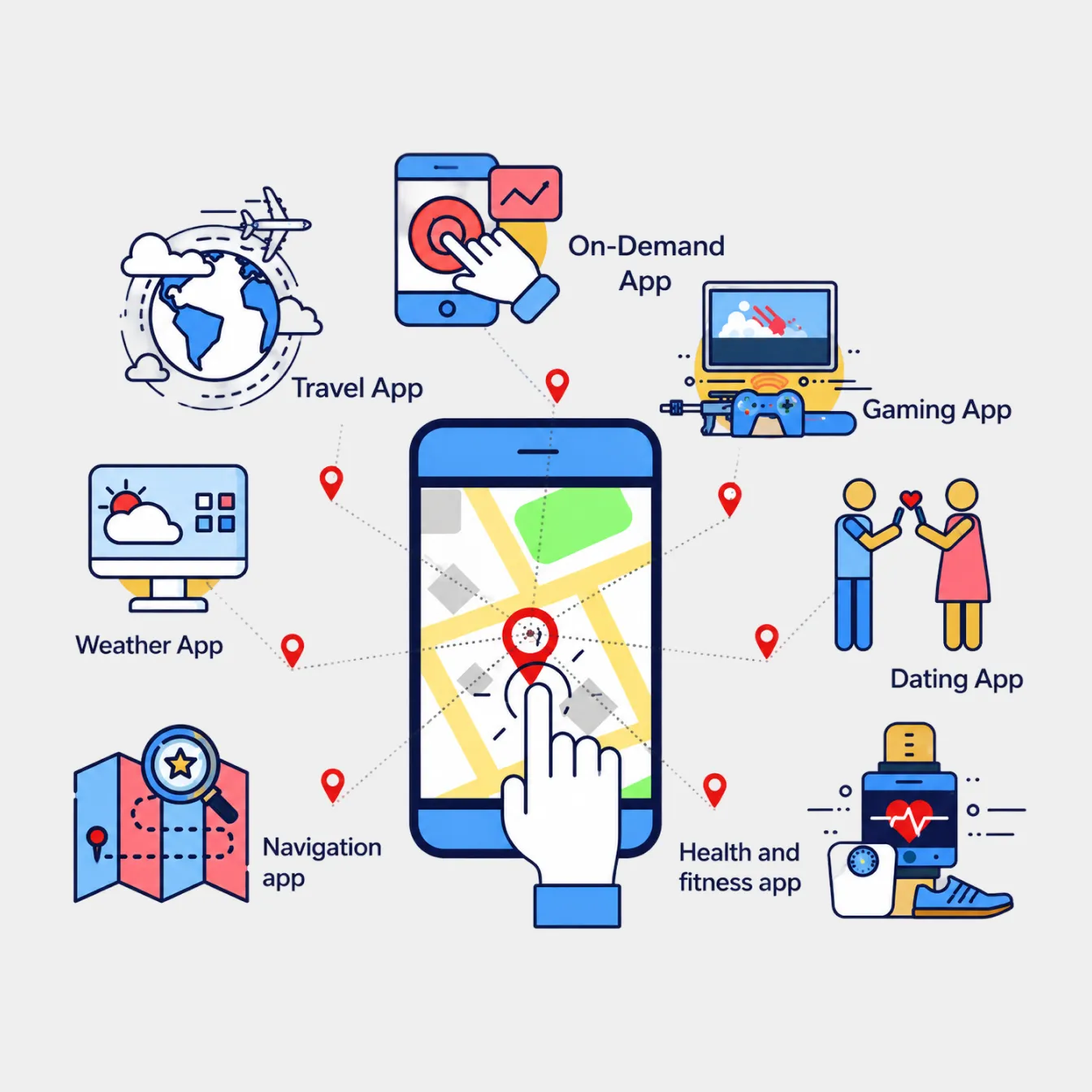
Improving the accuracy and precision of a user’s location, enables new mobile experiences for a wide range of mobile apps.
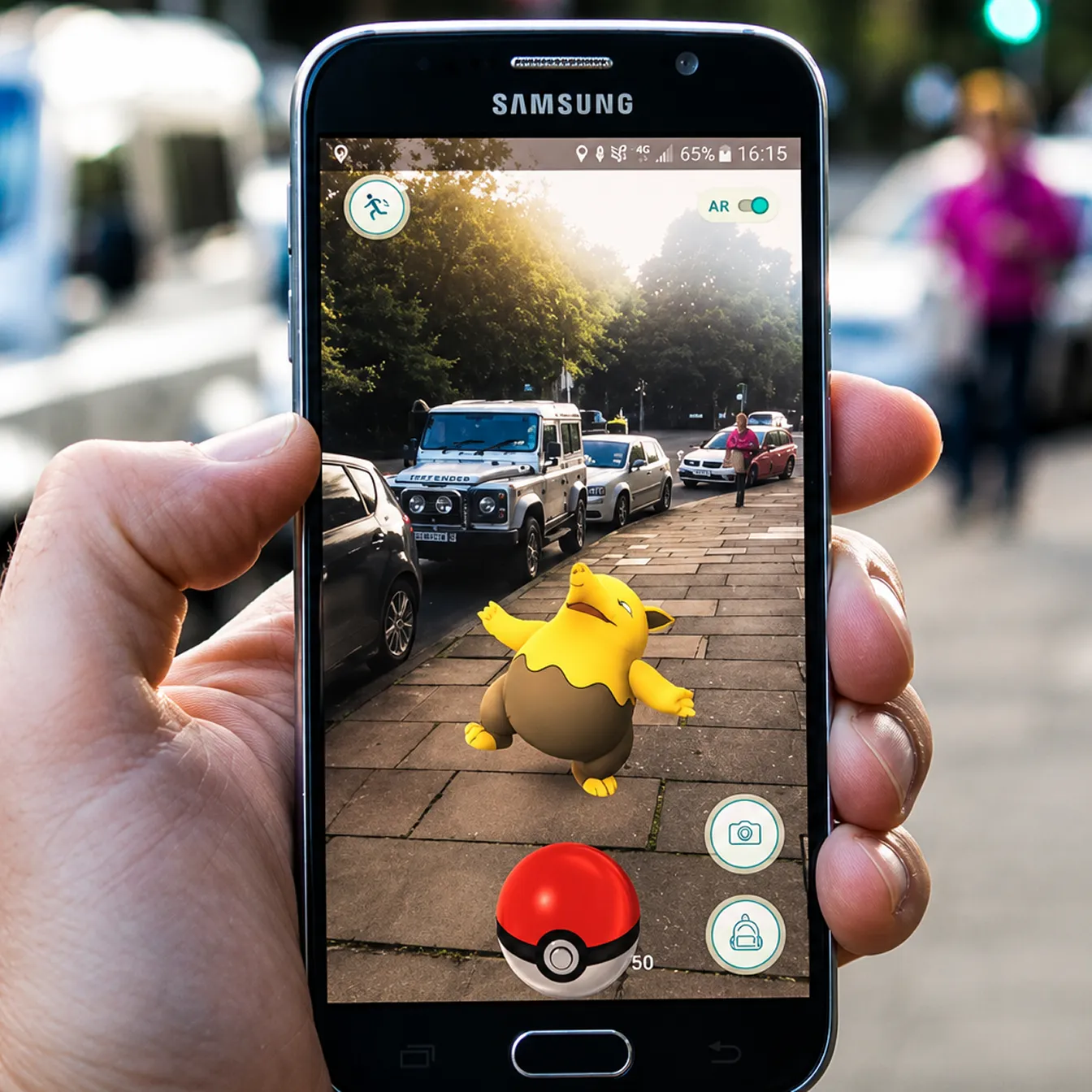
Augmented reality applications depend on tight alignment between the virtual and physical world. This requires excellent positional and orientation accuracy in the mobile device. (image for illustration purpose only)
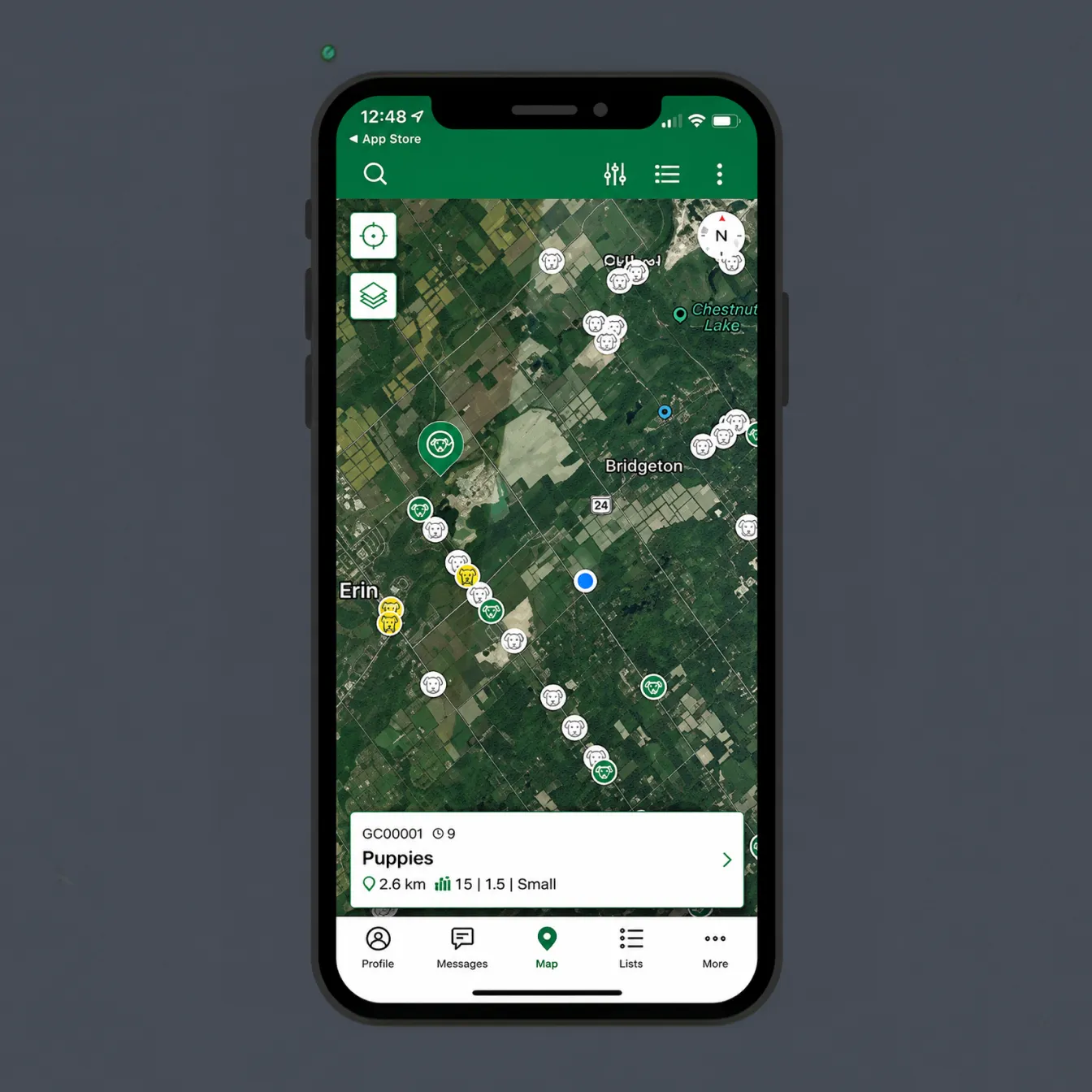
Imagine finding a buried treasure without digging, or placing easter eggs around a yard. Accurate position in XY and Z is required to make these experiences feel real. (image for illustration purpose only)
Raw GNSS Data
GEODNET operates a global backbone station network supplying data to leading precision GNSS organizations — fueling R&D for new and emerging innovations that can't be replicated in simulation.
Each backbone station runs on a Hemisphere P40 GNSS receiver, with cellular 4G, battery backup, and a primary wired internet connection.

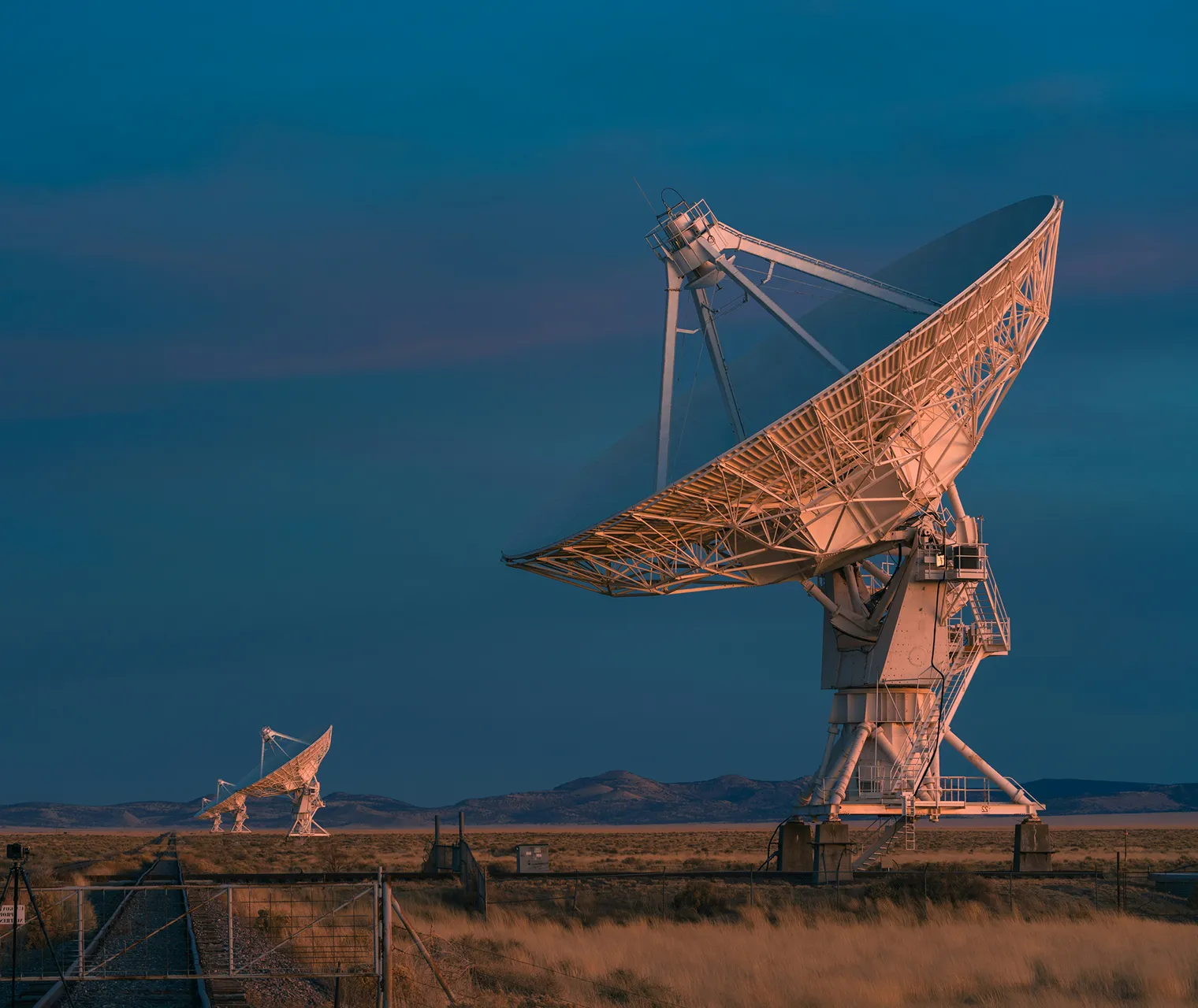






Build on the Precision Network for Physical AI
GEODNET is already deployed across real markets, real customers, and real-world positioning demand.


to stay in touch.

