

The Global Precision Network for Physical AI
A decentralized network of GNSS reference stations delivering centimeter-level positioning for drones, robotics, autonomous vehicles, and industrial systems.

GEODNET is a decentralized GNSS reference network delivering centimeter-level positioning worldwide. Thousands of independently operated base stations continuously collect multi-constellation satellite and space-weather observations, which the network aggregates into RTK corrections, post-processing data, and raw observation streams — with cryptographic guarantees over data transmission, location, and ownership authenticity.
Stream centimeter-level corrections to any compatible GNSS receiver over the internet — no local base station required.
- Standard NTRIP delivery, RTCM 3.2
- 1–2 cm achievable precision
- WGS84, ITRF2020/2014, NAD83 + 25 datums

Download historical observation and correction data to post-process trajectories when a real-time link isn't available or maximum accuracy is the priority.
- Historical data by station & time window
- Post-processing-ready observations
- Drone mapping, photogrammetry, survey
Direct, continuous 1 Hz raw observation streams (RTCM 3.2 MSM4) from a customized pool of stations — the wholesale layer beneath RTK. Build your own VRS, PPP, and POD engines.
- Per-station raw RTCM streams
- Station API + live station inventory
- QC metrics & enterprise console
How GEODNET Delivers Precision
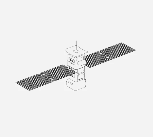
GNSS Satellites
Raw Signals


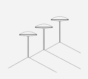
Base Station Network
Receive satellite signals

Calculate local errors
GEODNET Network
Aggregates station data
Computes RTK corrections
Cloud / Internet Delivery
Streams correction data (NTRIP / API)
Rover Collect GNSS Signals
Receive GNSS + corrections
.svg)
Results
cm-level positioning
No drift
Real-time accuracy
The most complete backend set of web services and APIs in the industry


How businesses integrate with GEODNET
Filling coverage gaps, building a positioning product from scratch, or expanding into new markets overnight — none of it has to start with deploying hardware.

Already run RTK infrastructure? GEODNET data fills coverage gaps instantly — no new hardware, no site negotiations.

Skip the infrastructure buildout. Use GEODNET as your data backbone and go straight to the software layer.

Extend service into rural, international, and remote areas without a single field deployment.

Academic and R&D teams use raw GNSS data for atmospheric research, algorithm development, and satellite analysis.
Raw GNSS Data
GEODNET operates a global backbone station network supplying data to leading precision GNSS organizations — fueling R&D that can't be replicated in simulation.
Each backbone station runs a Hemisphere P40 GNSS receiver, with cellular 4G, battery backup, and a primary wired internet connection. Positioning and monitoring use Natural Resources Canada's CSRS-PPP service.
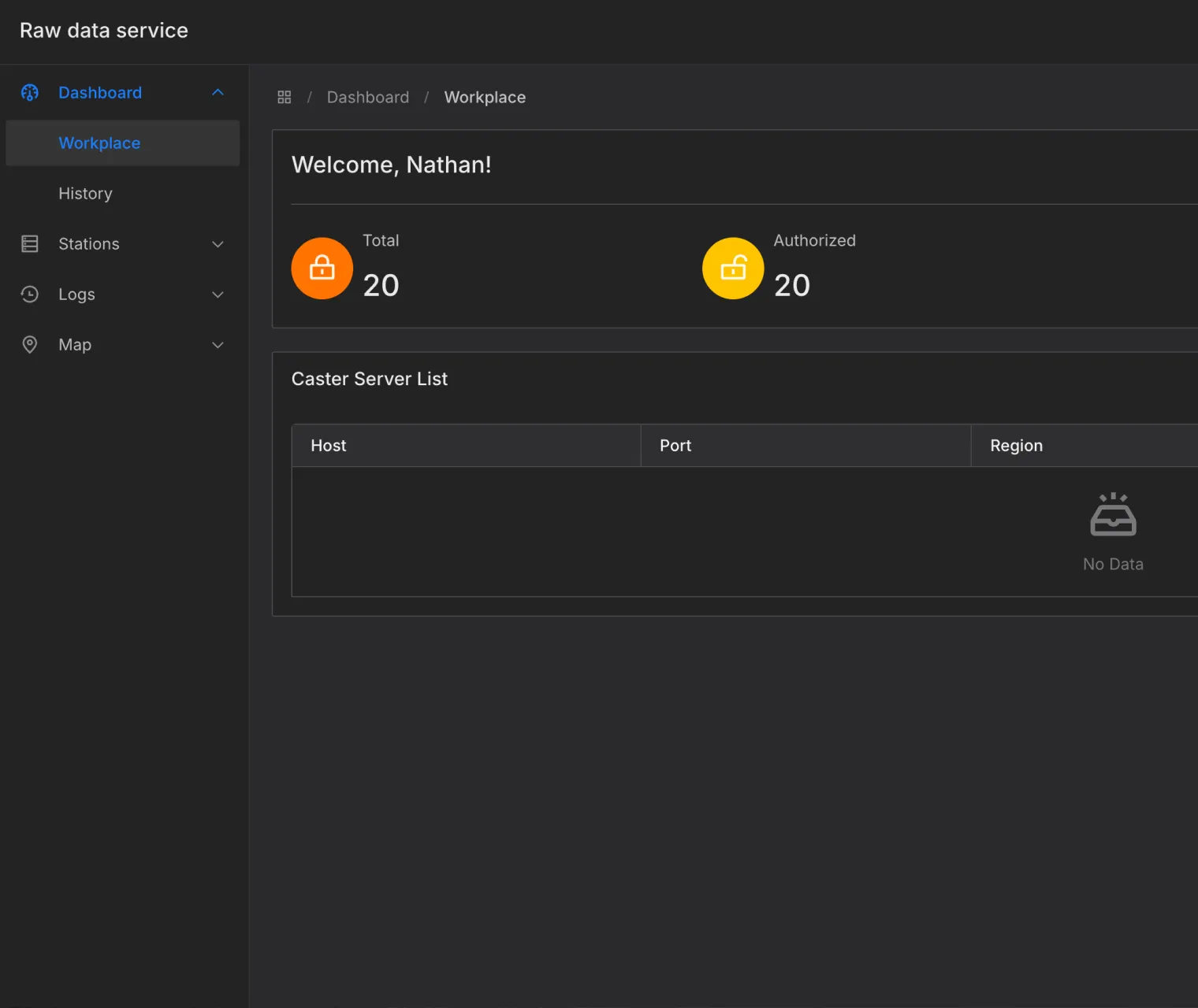
The Raw Data Service delivers direct, continuous 1 Hz raw observation streams (RTCM 3.2 MSM4) from a customized pool of reference stations — not rover-specific point corrections — so you can build independent Network RTK (VRS), PPP, and Precise Orbit Determination engines on your own infrastructure.

Network & data specifications
Documentation & Resources
Explore technical documentation, APIs, setup guides, and support resources to build with GEODNET faster.

Build on the Precision Network for Physical AI
GEODNET is already deployed across real markets, real customers, and real-world positioning demand.

to stay in touch.

