
 Back
The geospatial hub of the worksite
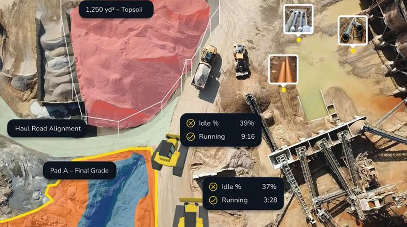
For more than a decade, Propeller has reshaped how earthmoving industries capture and use geospatial data. What began as a solution for stitching drone imagery has grown into a full platform powering construction, mining and waste-management operations around the world — with AeroPoints as smart ground control and the Visualizer layering photogrammetry, LiDAR, design surfaces and cut/fill maps into a single picture.
“We want to be the geospatial hub of the worksite,” said solutions engineer Jack Nachazel. “If you’re the superintendent, the project manager, the surveyor — everyone should be opening Propeller to see what’s really happening.” But every workflow depends on one underlying element: GNSS corrections.
A backyard discovery
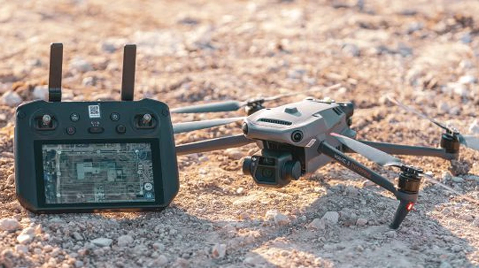
Propeller gives employees a professional development budget to explore new technologies. Nachazel spent his on a Rock Robotic base station. “I set it up at home, flew some drones, and started experimenting with PPK corrections,” he recalled. “That’s when I discovered GEODNET, and it became obvious that it could make our workflows more robust.”
How GEODNET extends Propeller
GEODNET doesn’t replace Propeller’s existing approach. It extends it, adding another correction pathway alongside Propeller’s own and partner base stations.
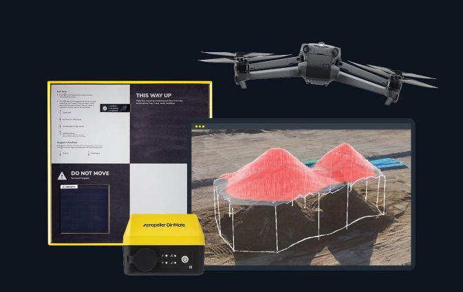
- Drone captures imagery with onboard GNSS tags; AeroPoints are deployed as ground control.
- Corrections are applied post-flight (PPK), with GEODNET providing additional correction streams.
- Result: survey-grade outputs with higher confidence, even where base-station infrastructure is thin.
“Corrections networks are only as good as their uptime,” Nachazel noted. “GEODNET adds another pathway, and that robustness matters when customers are making operational decisions based on our surveys.”
Three advantages
- Extended coverage — sites without strong base-station infrastructure get additional reach.
- Improved reliability — multiple correction sources mean redundancy; if one goes down, another remains.
- Customer confidence — clients log in from any site, however remote, and trust that volumes and design checks are defensible.
- Resilience against interference — another pathway as GNSS faces more jamming and spoofing risk.
Best practices for accurate capture
- 1. Establish a consistent survey cadence — consistency matters more than frequency.
- 2. Anchor with AeroPoints so every dataset is tied back to the ground.
- 3. Integrate all site data in the Visualizer and measure cut/fill directly.
- 4. Bring machine data into the picture with DirtMate: equipment use, haul routes and idle time.
- 5. Make the platform a shared language — foremen, project managers and executives all log in.

Centimeter-level corrections from 20,000+ stations in 140+ countries. RTCM 3.2 over NTRIP — works with any modern GNSS receiver, no base station required.

Key facts
- Propeller serves construction, mining, aggregates, landfill and remediation sites worldwide.
- The business case: fewer workers on foot, faster survey turnaround, less rework and defensible data for regulators.
- Propeller is exploring how GEODNET can scale across hundreds of customer sites.