



Understanding the $GEOD Token
Real technology. Real revenue. Real-world impact.

Tokenomics Overview
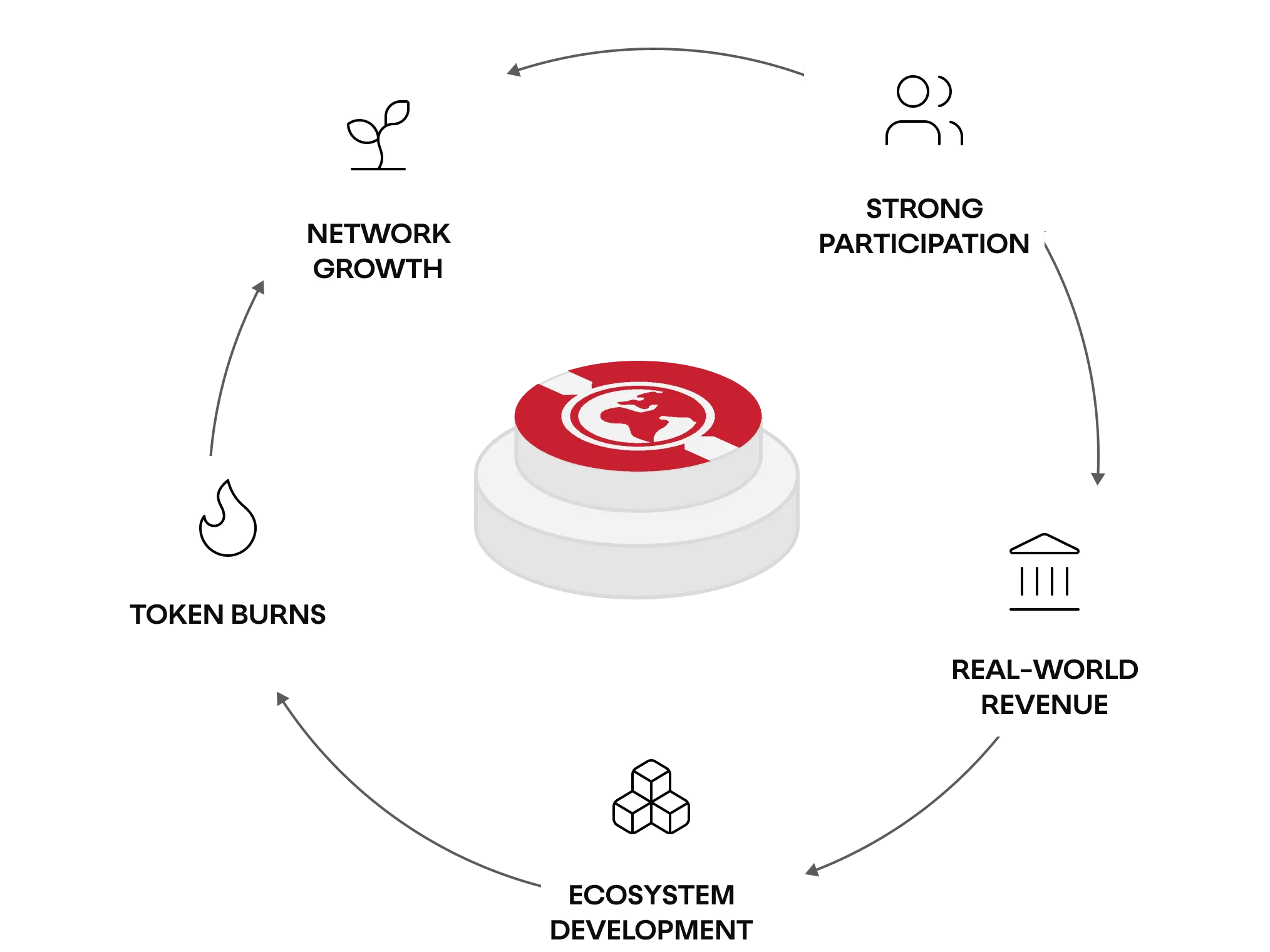
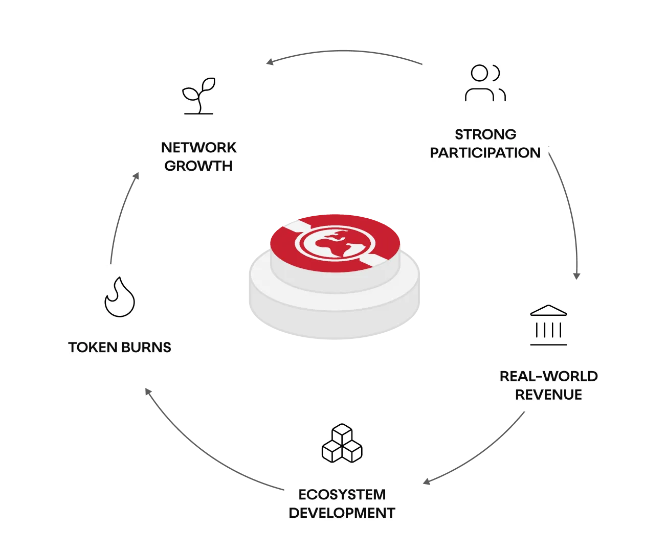
Each new station compounds the network — more coverage, more sellable data, more buybacks, and stronger reasons to deploy. A loop that feeds itself.
Verified, high-precision geospatial data — the input that powers the entire cycle.
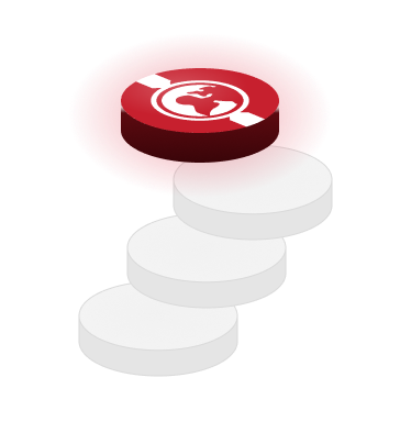


Scarcity and rewards pull operators to deploy more.
Stations capture verified RTK geospatial data.
Sold to enterprise buyers as protocol revenue.
Revenue buys back and burns $GEOD, tightening supply.
Historical Token Burned Trends ($)

GEODNET: GEOD Burn
GEODNET: Burn Rate
Percentage of issuance offset by burned tokens


.svg)

.svg)
.svg)
.svg)
A Token Economy Engineered for Sustainable Value
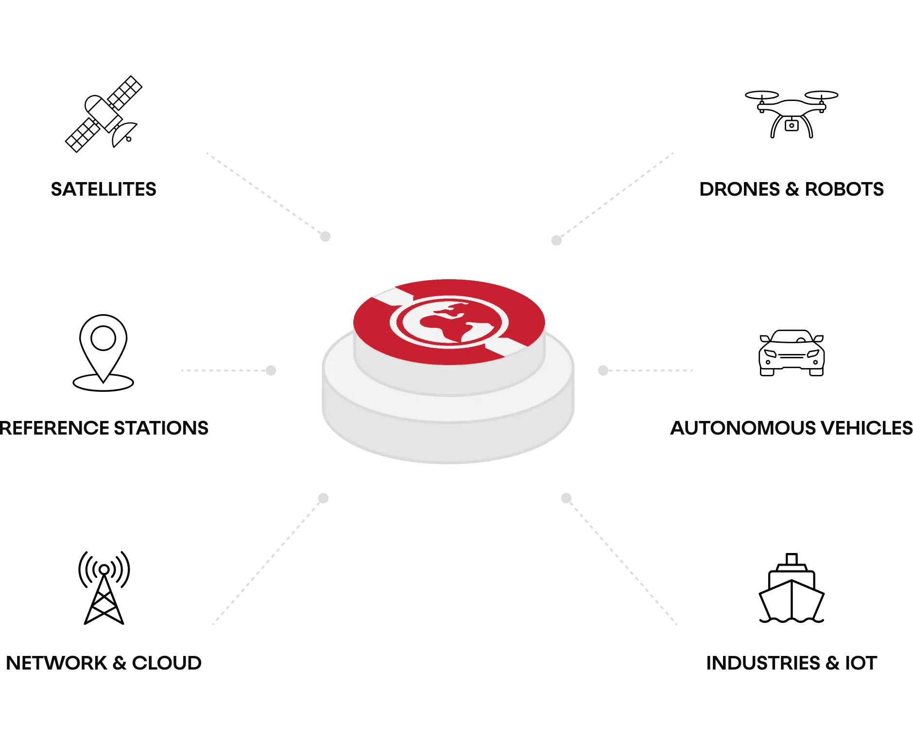
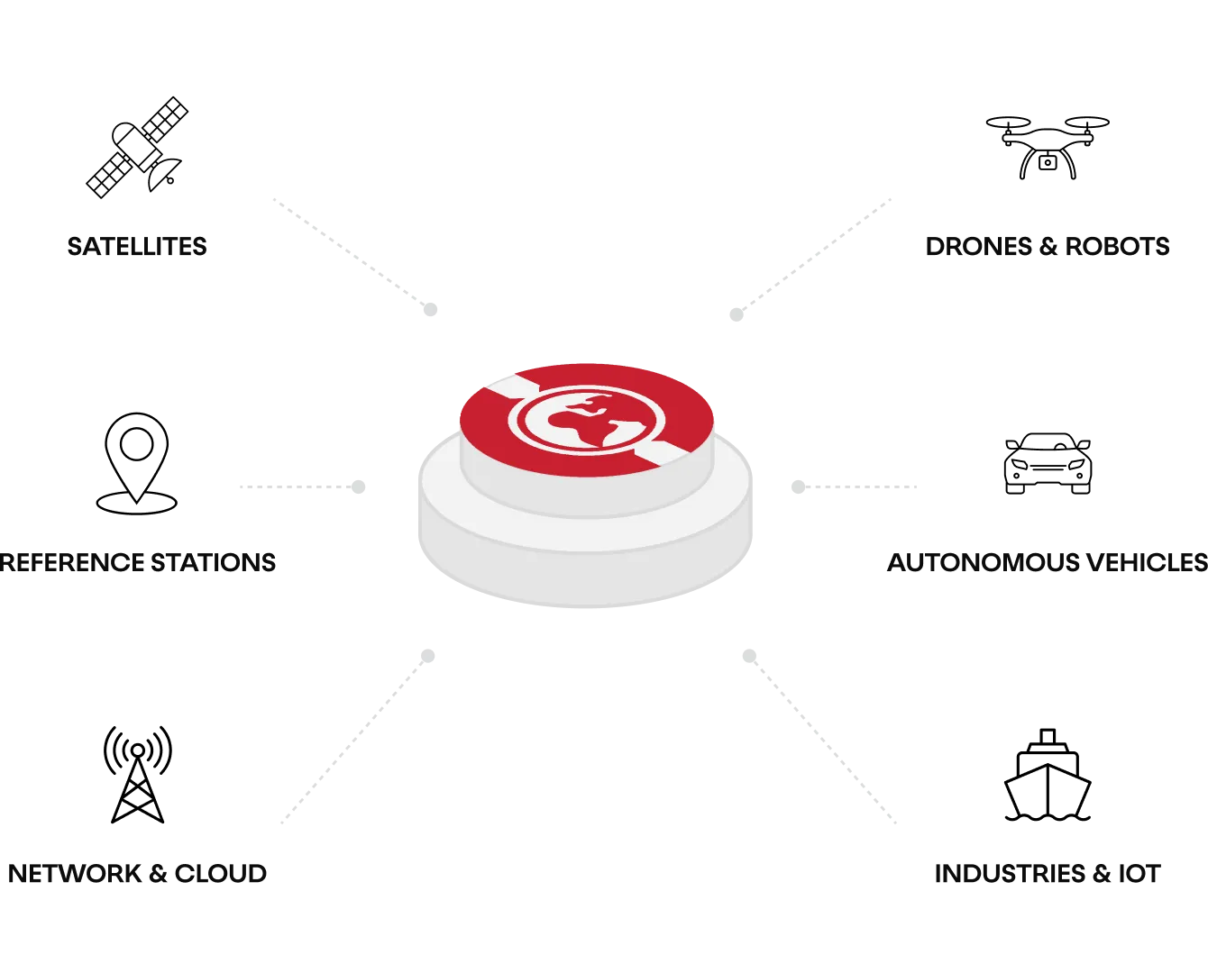
Real-World Revenue
Revenue generated from real-world services creates ongoing demand across the network.
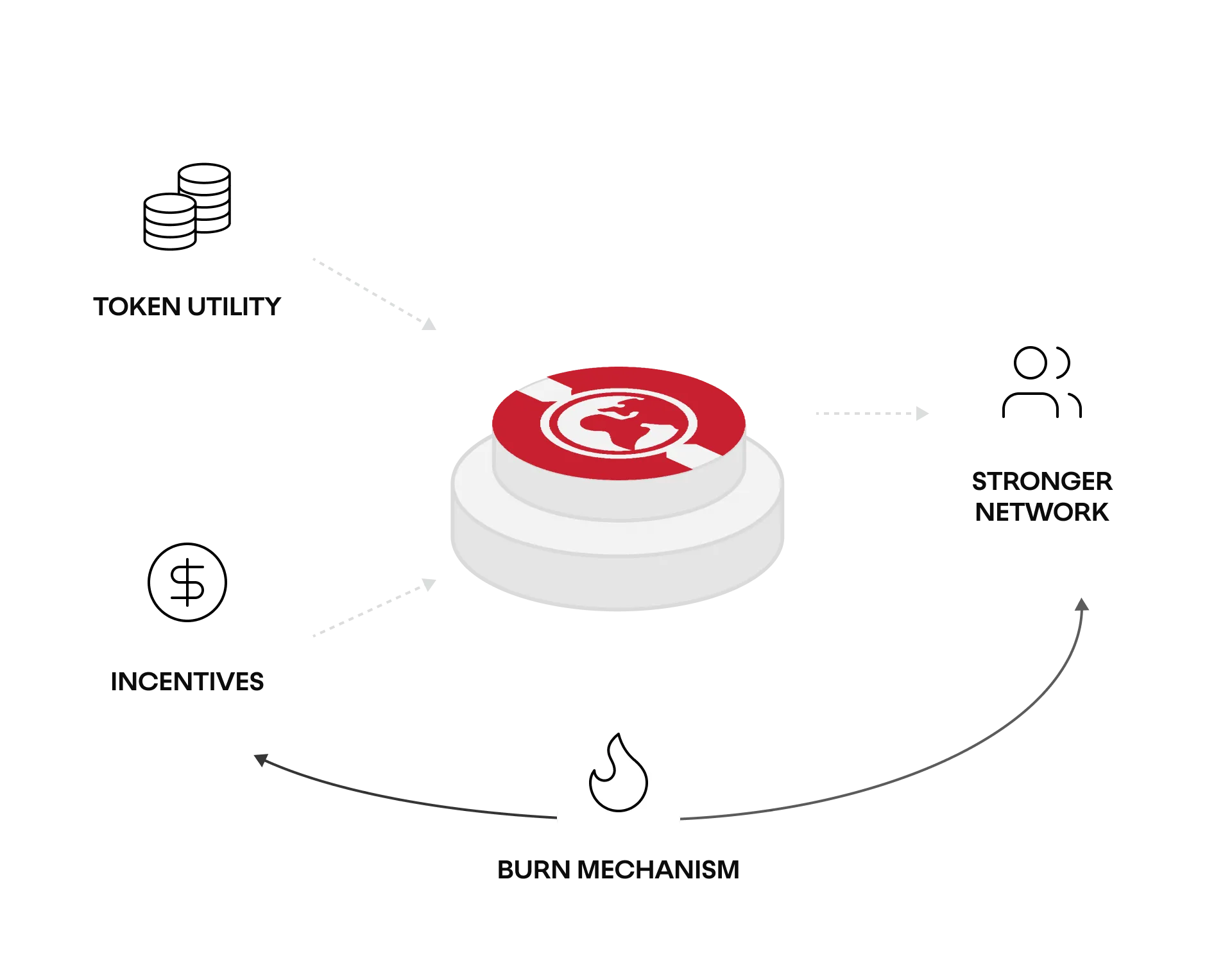
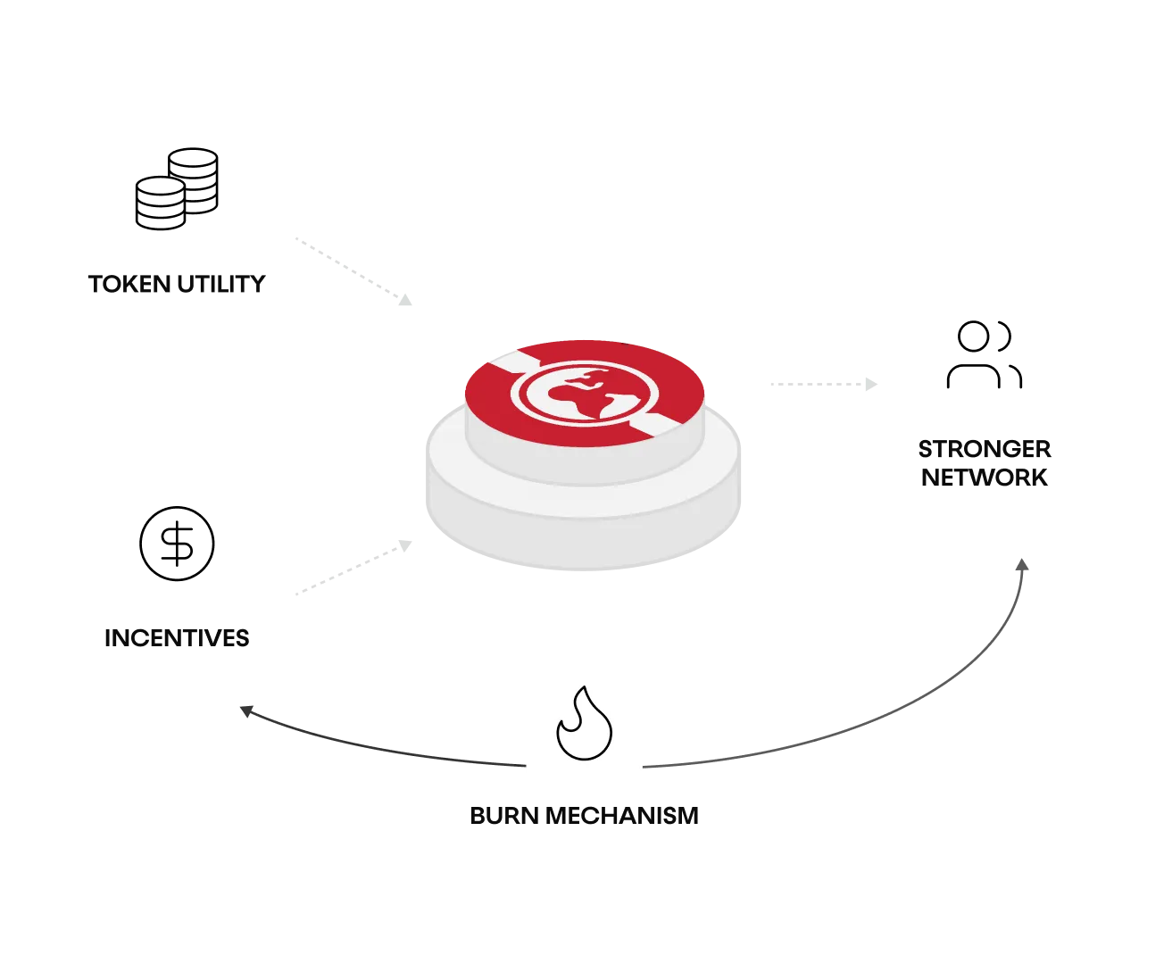
Token Burn Mechanism
A portion of network revenue is used to burn tokens, reducing supply over time.
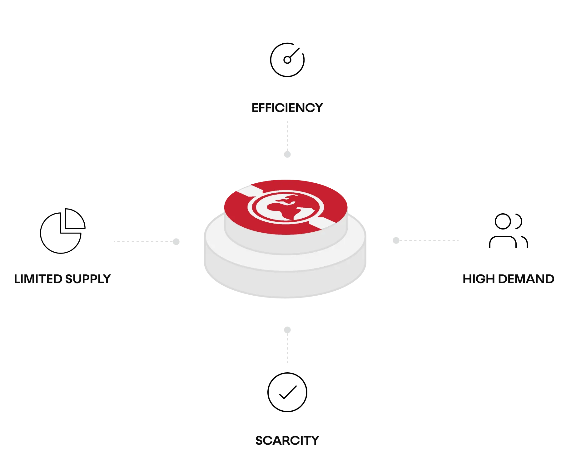
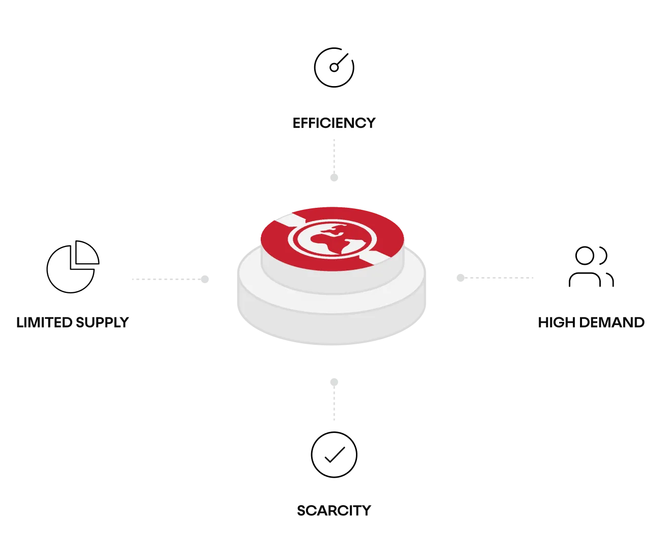
Limited Supply
A fixed token supply creates scarcity and supports long-term value creation.
Sustainable Economics
Aligned incentives ensure a self-sustaining ecosystem built for long-term growth.
GEODNET is backed by leading Blockchain and #DePIN Investors
.svg)
.svg)
.svg)
.svg)
.svg)
.svg)
.svg)
.svg)
.svg)
.svg)
.svg)
.svg)
.svg)
.svg)
.svg)
.svg)
.svg)
The World’s Largest Spatial Intelligence Platform for Physical AI, Powered by GEODNET.
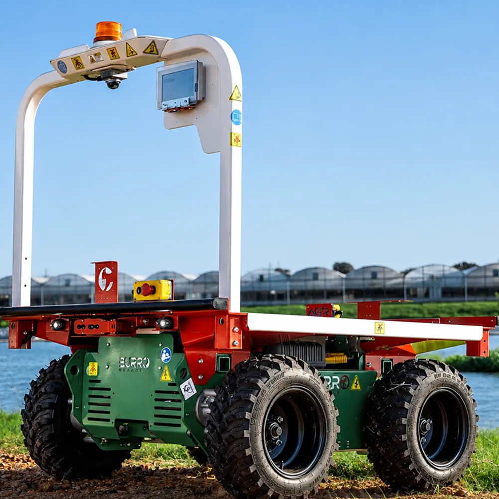
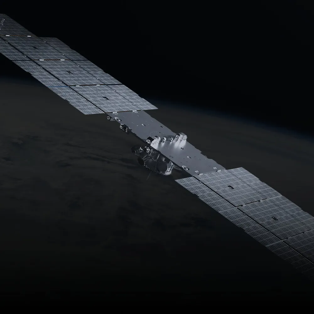
GEODNET is a decentralized network of GNSS base stations that collect space weather and satellite correction data from around the world. This data enables centimeter-level precision for drones, autonomous vehicles, robotics, and mapping applications. Each base station contributes valuable real-world data and earns $GEOD tokens in return, making $GEOD the heartbeat of a working global network.
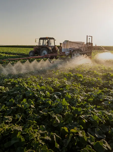


$GEOD is Not Just Another Token. It’s Real-world Infrastructure for a New Digital Earth.
Top Reasons
to Invest in $GEOD Today


Coverage Expands Hex Governed By The Community.
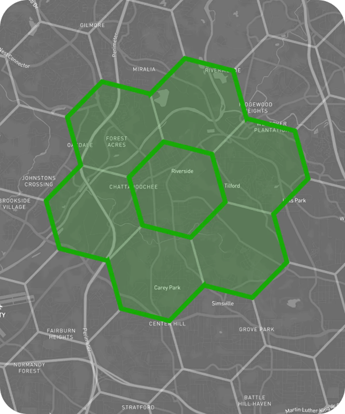
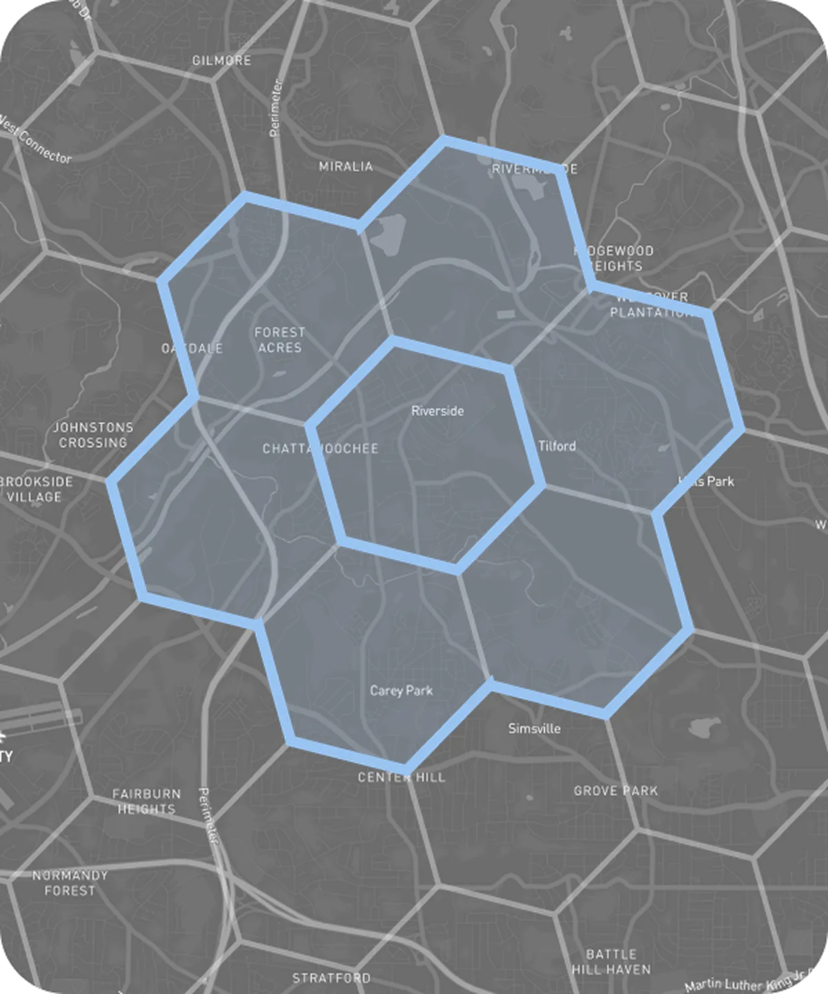
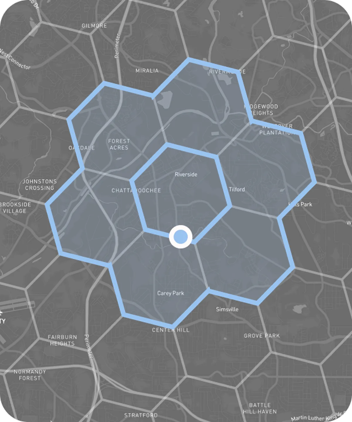
The GEODNET Foundation collaborates with current and prospective customers to review a selection of high-value regions on the map that require Satellite Reference Stations. These areas are then delineated as a seven-hex SuperHex. All community GEOD holders have the opportunity to stake their tokens within these SuperHexes for additional rewards. Once the SuperHex is fully staked with GEOD tokens, the SuperHex is active for GNSS mining stations to be deployed. The GEODNET Foundation has successfully launched both Phase I and Phase II SuperHex programs. Currently, the first newly deployed Satellite Reference Station within the active SuperHex will receive rewards multiplied by up to 4x.
Ready to join the world's largest decentralized GNSS network?





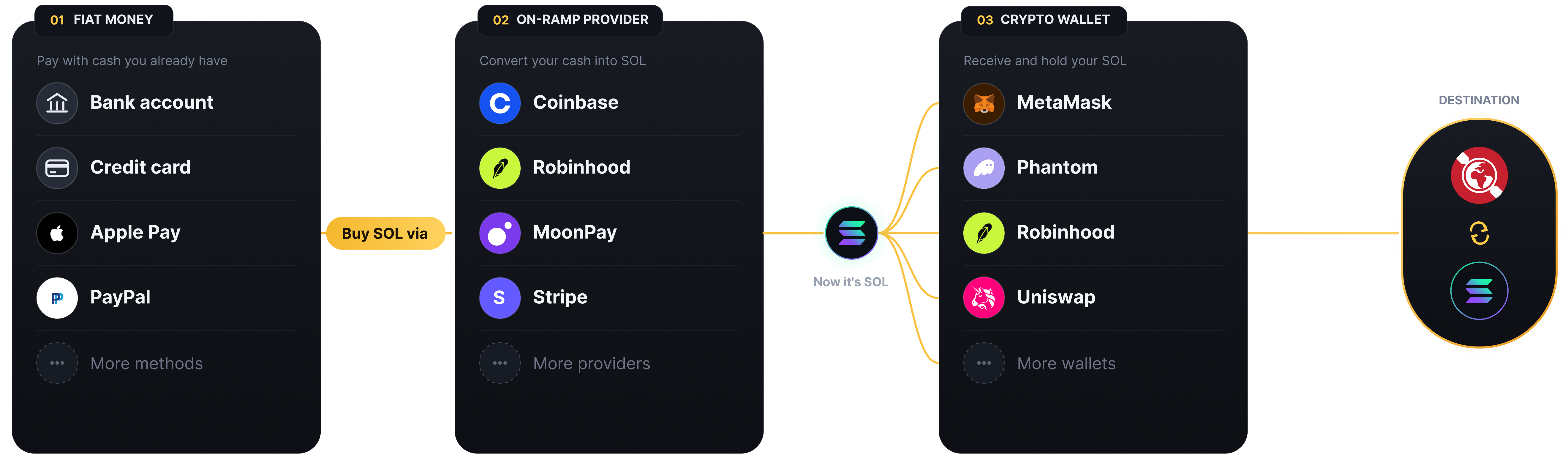
From Cash to $GEOD in Three Steps

Resources & Insights



Build on the Precision Network for Physical AI
GEODNET is already deployed across real markets, real customers, and real-world positioning demand.
to stay in touch.

